
1960 Map of Bloomfield
USGS Topo · Published 1963About this map
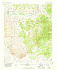
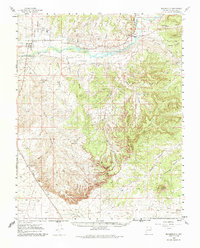
The San Juan River corridor anchors this 1960s study of the San Juan Basin Gas Field, showing a landscape defined by the intersection of industrial development and rural irrigation. In the northwest, the settlement of Bloomfield serves as a local hub, featuring St Marys Ch and a High Sch, while the community of Blanco is visible to the east with its own Blanco Sch. The agricultural viability of the river valley is maintained through the Citizens DITCH and Hammond Canal, which run parallel to the river's path through the high desert.
Find a feature on this map
40 named features on this map. Tap any name to fly to it.
Don’t see what you’re looking for? This feature index may not catch every label — zoom into the map to look around manually.
Map Details
Editions of this 1960 Bloomfield Map
3 editions found
Other maps of this area

1889 · Largo
USGS Topo · 1:250,000

1889 · Chaco
USGS Topo · 1:250,000

1892 · Chaco
USGS Topo · 1:250,000

1895 · Largo
USGS Topo · 1:250,000

1954 · Shiprock
USGS Topo · 1:250,000

1954 · Aztec
USGS Topo · 1:250,000

1958 · Shiprock
USGS Topo · 1:250,000

1958 · Aztec
USGS Topo · 1:250,000

1959 · Shiprock
USGS Topo · 1:250,000

1959 · Gould Pass
USGS Topo · 1:62,500