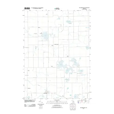
2011 Map of Bloomingdale
USGS Topo · Published 2011About this map
Bloomingdale stands as the primary hub in this southern Michigan landscape, marked by its namesake Bloomingdale Post Office and a grid of rural avenues. The area is defined by a high density of ancestral burial grounds, including the Indian Cemetery, Rowe Cemetery, and Lindsley Cemetery, which are scattered among small settlements like Chicora and Cheshire Center. This concentration of cemeteries provides a significant footprint for genealogical research in Van Buren County.
Find a feature on this map
63 named features on this map. Tap any name to fly to it.
Don’t see what you’re looking for? This feature index may not catch every label — zoom into the map to look around manually.
Map Details
Editions of this 2011 Bloomingdale Map
This is the sole edition of this map. No revisions or reprints were ever made.
Other maps of this area

1927 · Bangor
USGS Topo · 1:62,500

1928 · Fennville
USGS Topo · 1:62,500

1931 · Fennville
USGS Topo · 1:62,500

1931 · Bangor
USGS Topo · 1:62,500

1943 · Bangor
USGS Topo · 1:62,500

1946 · Gobles
USGS Topo · 1:62,500

1948 · Gobles
USGS Topo · 1:62,500

1949 · Gobles
USGS Topo · 1:62,500

1958 · Allegan
USGS Topo · 1:62,500

1958 · Racine
USGS Topo · 1:250,000