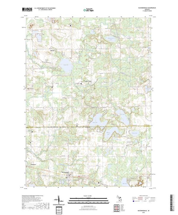
2023 Map of Bloomingdale
USGS Topo · Published 2023About this map
Bloomingdale serves as the primary hub in this southern Michigan landscape, situated where the Kal-haven Trail State Park Trl cuts through the township. The surrounding countryside is defined by its numerous glacial water bodies, including the expansive Swan Lake near Chicora and the cluster of Eagle Lake, Duck Lake, and Muskrat Lake further south. This 2023 survey illustrates a rural layout still deeply tied to its 19th-century settlement patterns, with small hamlets like Cheshire Center and Berlamont anchored by a dense network of local cemeteries such as Spring Grove Cem and Lindsley Cem. The Farm Service Agency maintains a notable footprint in the central township, reflecting the area's continued agricultural character. Water management is evident through systems like the Haven and Max Lake Drain, which supports the low-lying terrain north of the main settlement.
Find a feature on this map
67 named features on this map. Tap any name to fly to it.
Don’t see what you’re looking for? This feature index may not catch every label — zoom into the map to look around manually.
Map Details
Editions of this 2023 Bloomingdale Map
This is the sole edition of this map. No revisions or reprints were ever made.
Other maps of this area

1927 · Bangor
USGS Topo · 1:62,500

1928 · Fennville
USGS Topo · 1:62,500

1931 · Fennville
USGS Topo · 1:62,500

1931 · Bangor
USGS Topo · 1:62,500

1943 · Bangor
USGS Topo · 1:62,500

1946 · Gobles
USGS Topo · 1:62,500

1948 · Gobles
USGS Topo · 1:62,500

1949 · Gobles
USGS Topo · 1:62,500

1958 · Allegan
USGS Topo · 1:62,500

1958 · Racine
USGS Topo · 1:250,000
Featured Places
- Bloomingdale, MI
- Trowbridge Township, MI
- Bloomingdale Township, MI
- Columbia Township, MI
- Pine Grove Township, MI