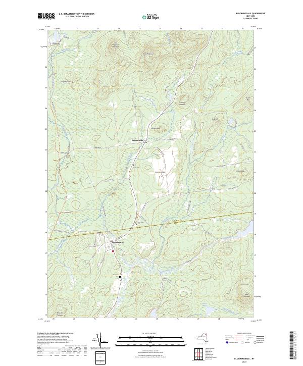
2023 Map of Bloomingdale
USGS Topo · Published 2023About this map
Bloomingdale and Vermontville serve as primary anchors in this high-altitude landscape where the Franklin and Essex county lines meet. The terrain is defined by a succession of peaks and ridges, including Big Haystack Mountain, Kate Mountain, and Shenes Ledge, while the lowlands are carved by the Saranac River and the winding course of Negro Brook. A legacy of regional transport is preserved in the D&H Railroad Trl, a corridor that once connected these Adirondack settlements to broader markets. Local history is deeply embedded in the land at Union Cem on Norman Ridge and Brookside Cem near the river. This modern survey reflects the continued protection of the Adirondack Park Preserve, showing how current infrastructure like NY Route 3 and Cold Brook Rd navigates the complex topography of the High Peaks region.
Find a feature on this map
58 named features on this map. Tap any name to fly to it.
Don’t see what you’re looking for? This feature index may not catch every label — zoom into the map to look around manually.
Map Details
Editions of this 2023 Bloomingdale Map
This is the sole edition of this map. No revisions or reprints were ever made.
Other maps of this area

1896 · Lake Placid
USGS Topo · 1:62,500

1898 · Lake Placid
USGS Topo · 1:62,500

1902 · Saranac
USGS Topo · 1:62,500

1904 · Saranac
USGS Topo · 1:62,500

1906 · Loon Lake
USGS Topo · 1:62,500

1908 · Loon Lake
USGS Topo · 1:62,500

1911 · Lyon Mountain
USGS Topo · 1:62,500

1913 · Lyon Mountain
USGS Topo · 1:62,500

1931 · Lyon Mountain
USGS Topo · 1:62,500

1948 · Ogdensburg
USGS Topo · 1:250,000