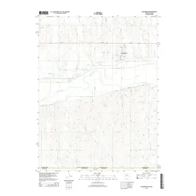
2014 Map of Bloomington
USGS Topo · Published 2014About this map
Bloomington serves as the primary hub of this south-central Nebraska landscape, where the local street grid including Shiloh St and Central St meets the transit corridor of HWY 136. The geography is defined by a sophisticated water management system designed for agricultural productivity along the Republican River valley. Both the Franklin Canal and Naponee Canal trace the contours of the valley floor, supported by numerous upland water bodies such as Kahrs Reservoir and Saathoff Reservoir. To the south, the terrain becomes increasingly complex as a network of drainages, including Lochile Creek and Rebecca Creek, cuts through the plains toward the state line. This 2014 survey documents the interface between Franklin County and the neighboring Kansas counties of Phillips and Smith, with the historic Mt Olive Cemetery situated at the very southern edge of the state boundary.
Find a feature on this map
47 named features on this map. Tap any name to fly to it.
Don’t see what you’re looking for? This feature index may not catch every label — zoom into the map to look around manually.
Map Details
Editions of this 2014 Bloomington Map
This is the sole edition of this map. No revisions or reprints were ever made.
Other maps of this area

1893 · Smith Center
USGS Topo · 1:125,000

1893 · Phillipsburg
USGS Topo · 1:125,000

1896 · Holdrege
USGS Topo · 1:125,000

1897 · Red Cloud
USGS Topo · 1:125,000

1955 · Grand Island
USGS Topo · 1:250,000

1955 · Beloit
USGS Topo · 1:250,000

1957 · Grand Island
USGS Topo · 1:250,000

1958 · Grand Island
USGS Topo · 1:250,000

1959 · Beloit
USGS Topo · 1:250,000

1973 · Kensington NE
USGS Topo · 1:24,000