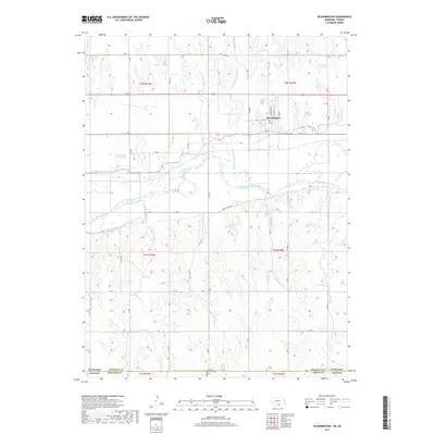
2017 Map of Bloomington
USGS Topo · Published 2017About this map
Bloomington serves as the central hub of this Nebraska landscape, situated just north of the wide valley where the Republican River flows. The area's agricultural character is clearly defined by an extensive water management network, including the Franklin Canal and Naponee Canal which parallel the river. Numerous small reservoirs such as Rasmussen Reservoir, Saathoff Reservoir, and Kahrs Reservoir are scattered throughout the northern and central sections, indicating the critical role of water storage for local farming.
Find a feature on this map
35 named features on this map. Tap any name to fly to it.
Don’t see what you’re looking for? This feature index may not catch every label — zoom into the map to look around manually.
Map Details
Editions of this 2017 Bloomington Map
This is the sole edition of this map. No revisions or reprints were ever made.
Other maps of this area

1893 · Smith Center
USGS Topo · 1:125,000

1893 · Phillipsburg
USGS Topo · 1:125,000

1896 · Holdrege
USGS Topo · 1:125,000

1897 · Red Cloud
USGS Topo · 1:125,000

1955 · Grand Island
USGS Topo · 1:250,000

1955 · Beloit
USGS Topo · 1:250,000

1957 · Grand Island
USGS Topo · 1:250,000

1958 · Grand Island
USGS Topo · 1:250,000

1959 · Beloit
USGS Topo · 1:250,000

1973 · Kensington NE
USGS Topo · 1:24,000