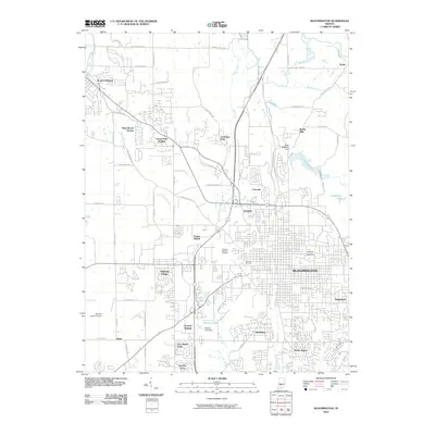
2010 Map of Bloomington
USGS Topo · Published 2010About this map
Bloomington serves as the central hub of this survey, anchored by the expansive campus of Indiana University and its proximity to several residential developments such as Ridgemede and Broadview. The landscape transitions from the urban core to suburban neighborhoods like Highland Village and Forest-Park Heights, while the northwestern corner is marked by the town of Ellettsville. This record captures a period of modern infrastructure supporting a growing university community, from the Monroe County Airport at the western edge to the recreational waters of Griffy Reservoir and University Lake in the northeast.
Find a feature on this map
77 named features on this map. Tap any name to fly to it.
Don’t see what you’re looking for? This feature index may not catch every label — zoom into the map to look around manually.
Map Details
Editions of this 2010 Bloomington Map
This is the sole edition of this map. No revisions or reprints were ever made.
Other maps of this area

1908 · Bloomington
USGS Topo · 1:48,000

1910 · Bloomington
USGS Topo · 1:62,500

1942 · Franklin
USGS Topo · 1:125,000

1947 · Allens Creek
USGS Topo · 1:24,000

1947 · Unionville
USGS Topo · 1:24,000

1947 · Gosport
USGS Topo · 1:24,000

1948 · Hindustan
USGS Topo · 1:24,000

1950 · Gosport
USGS Topo · 1:24,000

1953 · Indianapolis
USGS Topo · 1:250,000

1956 · Indianapolis
USGS Topo · 1:250,000