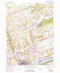
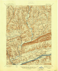
1953 Map of Bloomsburg
USGS Topo · Published 1990About this map
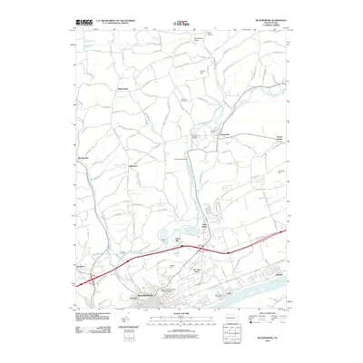
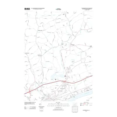
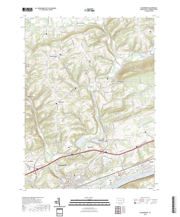
The town of Bloomsburg serves as the hub of this mid-century landscape, anchored by the State Teachers College and a bustling riverfront economy. Situated where Fishing Creek meets the Susquehanna River, the area shows a distinct transition from industrial activities near the Paper Mill and Conrail lines to the rural uplands of Pleasant Mountain.
Find a feature on this map
53 named features on this map. Tap any name to fly to it.
Don’t see what you’re looking for? This feature index may not catch every label — zoom into the map to look around manually.
Map Details
Editions of this 1953 Bloomsburg Map
4 editions found
Historical Maps of Bloomsburg Through Time
10 maps found
1894 Bloomsburg
Columbia County, PA
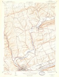
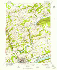
1947 Bloomsburg
Columbia County, PA
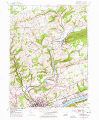
1953 Bloomsburg
Columbia County, PA
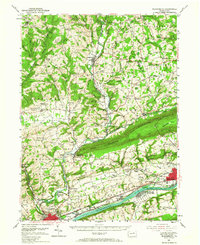
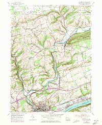
1954 Bloomsburg
Columbia County, PA
1999 Bloomsburg
Columbia County, PA
2010 Bloomsburg
Columbia County, PA
2013 Bloomsburg
Columbia County, PA
2016 Bloomsburg
Columbia County, PA
2019 Bloomsburg
Columbia County, PA
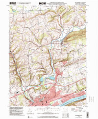
2023 Bloomsburg
Columbia County, PA
Featured Locations
- Bloomsburg, PA
- North Centre Township, PA
- Orangeville, PA
- Greenwood Township, PA
- Lightstreet, Scott Township