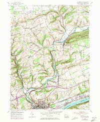
1953 Map of Bloomsburg
USGS Topo · Published 1971About this map
Bloomsburg sits at a critical junction of mid-century industry and transportation, where the Reading and Penn Central railroads converge along the north bank of the Susquehanna River. The town is anchored by the State Teachers College and a diverse economic landscape that includes a Paper Mill on Fishing Creek. Surrounding the municipal core, the terrain rises toward Turkey Hill and the prominent ridge of Knob Mountain, with several small rural communities like Light Street and Espy providing a glimpse into the area's residential growth. Cultural landmarks such as the Drive-in Theater and New Rosemont Cemetery illustrate the social fabric of Columbia County during this era of post-war development and infrastructure expansion, evidenced by the emerging highway interchanges near Buckhorn.
Find a feature on this map
53 named features on this map. Tap any name to fly to it.
Don’t see what you’re looking for? This feature index may not catch every label — zoom into the map to look around manually.
Map Details
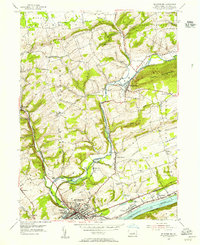
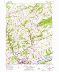
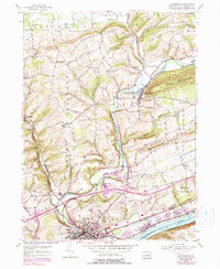
Editions of this 1953 Bloomsburg Map
4 editions found
Other maps of this area

1889 · Catawissa
USGS Topo · 1:62,500

1892 · Catawissa
USGS Topo · 1:62,500

1892 · Shamokin
USGS Topo · 1:62,500

1893 · Shamokin
USGS Topo · 1:62,500

1894 · Catawissa
USGS Topo · 1:62,500

1894 · Bloomsburg
USGS Topo · 1:62,500

1935 · Hughesville
USGS Topo · 1:62,500

1943 · Shamokin
USGS Topo · 1:62,500

1947 · Bloomsburg
USGS Topo · 1:24,000

1947 · Stillwater
USGS Topo · 1:24,000
Featured Places
- Bloomsburg, PA
- Greenwood Township, PA
- North Centre Township, PA
- Lightstreet, Scott Township
- Orangeville, PA