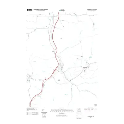
2013 Map of Blossburg
USGS Topo · Published 2013About this map
The Tioga River flows northward through this corridor of the Allegheny Plateau, anchoring the town of Blossburg and the surrounding mountain settlements. The landscape is defined by its deep drainages and narrow valleys, where small coal-era communities like Morris Run and Arnot sit tucked between South Mountain and Huckleberry Mountain. The topography dictates the local infrastructure, with the primary transportation routes following the river and the gaps through Limekiln Hollow and Frost Hollow.
Find a feature on this map
88 named features on this map. Tap any name to fly to it.
Don’t see what you’re looking for? This feature index may not catch every label — zoom into the map to look around manually.
Map Details
Editions of this 2013 Blossburg Map
This is the sole edition of this map. No revisions or reprints were ever made.
Other maps of this area

1900 · Tioga
USGS Topo · 1:62,500

1902 · Tioga
USGS Topo · 1:62,500

1925 · Blossburg
USGS Topo · 1:62,500

1927 · Blossburg
USGS Topo · 1:62,500

1931 · Troy
USGS Topo · 1:48,000

1938 · Troy
USGS Topo · 1:62,500

1942 · Canton
USGS Topo · 1:62,500

1944 · Blossburg
USGS Topo · 1:62,500

1944 · Canton
USGS Topo · 1:62,500

1953 · Roseville
USGS Topo · 1:24,000