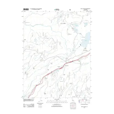
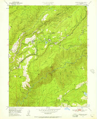
2012 Map of Blue Canyon
USGS Topo · Published 2012About this map
Emigrant Gap and the surrounding Sierra Nevada highlands are defined by a complex network of water management and transportation infrastructure. This area serves as a critical corridor where the S Yuba River and Bear River drainages meet, navigated by the Drum Canal and the impressive Bowman-Spaulding Conduit Flume. The presence of the Zion Hill Tunnel and the Blue Canyon PO highlights the historic rail and post-office heritage of the region, while the Rim Powerhouse at Lake Spaulding underscores the long-standing industrial importance of hydroelectric power in these mountains.
Find a feature on this map
69 named features on this map. Tap any name to fly to it.
Don’t see what you’re looking for? This feature index may not catch every label — zoom into the map to look around manually.
Map Details
Editions of this 2012 Blue Canyon Map
This is the sole edition of this map. No revisions or reprints were ever made.
Other maps of this area

1891 · Colfax
USGS Topo · 1:125,000

1892 · Colfax
USGS Topo · 1:125,000
1894 · Colfax
USGS Topo · 1:125,000
1898 · Colfax
USGS Topo · 1:125,000
1900 · Colfax
USGS Topo · 1:125,000
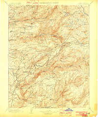
1902 · Colfax
USGS Topo · 1:125,000
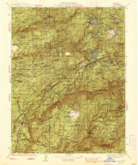
1938 · Colfax
USGS Topo · 1:125,000
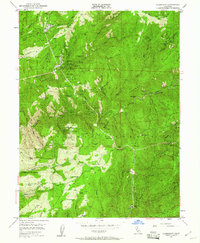
1949 · Alleghany
USGS Topo · 1:24,000
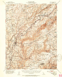
1950 · Colfax
USGS Topo · 1:62,500
1950 · Dutch Flat
USGS Topo · 1:24,000