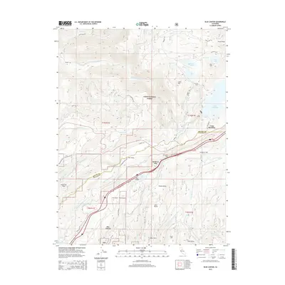
2015 Map of Blue Canyon
USGS Topo · Published 2015About this map
The Sierra Nevada high country at Emigrant Gap and Blue Canyon is defined by a dense network of water management and historical transit routes across the Tahoe National Forest. This mapping reveals the critical infrastructure of the northern Sierras, where the S Yuba Canal, Drum Canal, and Upper Boardman Canal terrace the steep terrain to move water toward Lake Spaulding and the Drum Forebay. The presence of Arctic Mine Rd and Last Chance Mine Rd underscores the area's long-standing connection to resource extraction and the difficult logistics of the mountain landscape.
Find a feature on this map
66 named features on this map. Tap any name to fly to it.
Don’t see what you’re looking for? This feature index may not catch every label — zoom into the map to look around manually.
Map Details
Editions of this 2015 Blue Canyon Map
This is the sole edition of this map. No revisions or reprints were ever made.
Other maps of this area

1891 · Colfax
USGS Topo · 1:125,000

1892 · Colfax
USGS Topo · 1:125,000

1894 · Colfax
USGS Topo · 1:125,000

1898 · Colfax
USGS Topo · 1:125,000

1900 · Colfax
USGS Topo · 1:125,000

1902 · Colfax
USGS Topo · 1:125,000

1938 · Colfax
USGS Topo · 1:125,000
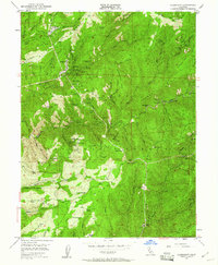
1949 · Alleghany
USGS Topo · 1:24,000
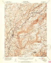
1950 · Colfax
USGS Topo · 1:62,500
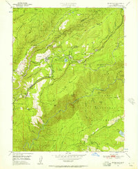
1950 · Dutch Flat
USGS Topo · 1:24,000