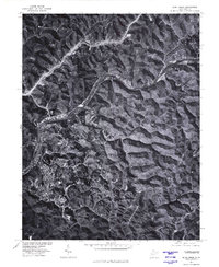
1977 Map of Blue Creek
USGS Topo · Published 1980About this map
The Elk River winds through the narrow valleys of Kanawha County in this late-1970s orthophotoquad, where the landscape is defined by the steep ridges and tight bends of the river. Small settlements like Blue Creek and Youngs Bottom are situated on the limited level ground along the riverbanks, illustrating the historic settlement patterns dictated by the Appalachian terrain. The imagery captures the area before modern developments significantly altered the traditional footprints of communities such as Falling Rock and Coco. By utilizing rectified aerial photography, this survey provides a rare, clear view of the dense vegetation and the winding roads that follow the contours of Three Mile and other local drainages, offering a precise look at the rural West Virginia landscape during this era.
Find a feature on this map
6 named features on this map. Tap any name to fly to it.
Don’t see what you’re looking for? This feature index may not catch every label — zoom into the map to look around manually.
Map Details
Editions of this 1977 Blue Creek Map
This is the sole edition of this map. No revisions or reprints were ever made.
Other maps of this area

1897 · Kanawha Falls
USGS Topo · 1:125,000

1899 · Charleston
USGS Topo · 1:125,000

1900 · Kanawha Falls
USGS Topo · 1:125,000

1901 · Kanawha Falls
USGS Topo · 1:125,000

1906 · Kenna
USGS Topo · 1:62,500

1906 · Walton
USGS Topo · 1:62,500

1907 · Kenna
USGS Topo · 1:62,500

1907 · Walton
USGS Topo · 1:62,500

1907 · Clendenin
USGS Topo · 1:62,500

1909 · Charleston
USGS Topo · 1:62,500