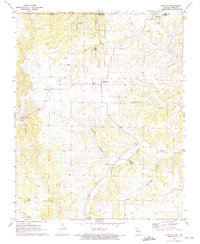
1972 Map of Blue Eye
USGS Topo · Published 1974About this map
The border community of Blue Eye straddles the line between Stone County, Missouri and Carroll County, Arkansas, serving as a focal point for this 1972 survey. The landscape is characterized by the rugged timberlands of the Mark Twain National Forest and the winding drainages of Dogwood Creek and Yocum Creek. Local history is preserved in small rural centers like Oakgrove, where several country churches and family burial grounds such as Boyd Cem and Parker Cem dot the hillsides.
Find a feature on this map
32 named features on this map. Tap any name to fly to it.
Don’t see what you’re looking for? This feature index may not catch every label — zoom into the map to look around manually.
Map Details
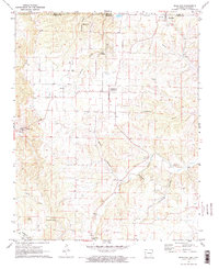
Editions of this 1972 Blue Eye Map
2 editions found
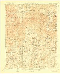
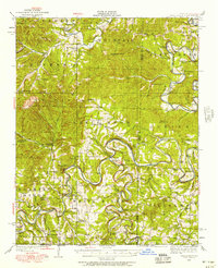
Other maps of this area

1900 · Eureka Springs
USGS Topo · 1:125,000

1901 · Eureka Springs
USGS Topo · 1:125,000

1904 · Harrison
USGS Topo · 1:125,000

1905 · Harrison
USGS Topo · 1:125,000

1907 · Forsyth
USGS Topo · 1:125,000
1927 · Shell Knob
USGS Topo · 1:62,500

1945 · Harrison
USGS Topo · 1:250,000

1949 · Harrison
USGS Topo · 1:250,000
1950 · Shell Knob
USGS Topo · 1:62,500

1954 · Harrison
USGS Topo · 1:250,000