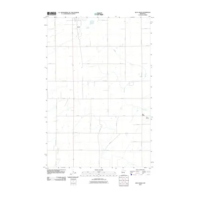
2010 Map of Blue Grass
USGS Topo · Published 2010About this map
Blue Grass anchors this section of Wadena County, where the agricultural grid is defined by a dense network of township roads and county highways. The settlement pattern is largely dictated by the passage of Redeye River in the northwest and the winding course of Hay Creek through the center and east. These watercourses provide a natural break in the otherwise systematic placement of section-line roads like 121st Ave and 250th St. For those researching local families, the map identifies significant landmarks including Greenhill Cemetery in the north and Saint Huberts Cemetery near the eastern edge of the community. The landscape remains primarily rural, with modern infrastructure such as County Hwy-9 and County Hwy-131 facilitating movement between the scattered farmsteads and the central village area.
Find a feature on this map
28 named features on this map. Tap any name to fly to it.
Don’t see what you’re looking for? This feature index may not catch every label — zoom into the map to look around manually.
Map Details
Editions of this 2010 Blue Grass Map
This is the sole edition of this map. No revisions or reprints were ever made.
Other maps of this area

1953 · Brainerd
USGS Topo · 1:250,000

1957 · Brainerd
USGS Topo · 1:250,000

1958 · Brainerd
USGS Topo · 1:250,000

1965 · Brainerd
USGS Topo · 1:250,000

1966 · Aldrich North
USGS Topo · 1:24,000

1969 · Sebeka SW
USGS Topo · 1:24,000

1969 · Sebeka
USGS Topo · 1:24,000

1969 · Sebeka NW
USGS Topo · 1:24,000

1969 · Wadena
USGS Topo · 1:24,000

1969 · Verndale
USGS Topo · 1:24,000