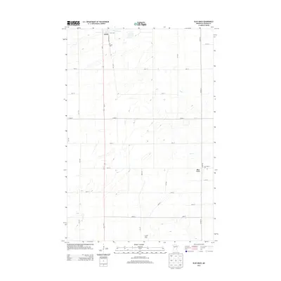
2013 Map of Blue Grass
USGS Topo · Published 2013About this map
Sebeka sits at the northern edge of this landscape, where Us-71 serves as the primary north-south artery through Wadena County. The terrain is defined by the winding course of the Redeye River and its tributary, Hay Cr, which cut through a grid-based rural road system. This 2013 survey illustrates a stable agricultural region dotted with family-centered landmarks and community sites. Local history and genealogy interest is concentrated at Greenhill Cem near the town center and Saint Huberts Cem to the southeast. The area known as Blue Grass is depicted near the eastern boundary, while the Carman Berry Farm to the south represents the continued agricultural productivity of the region. The map provides a precise layout of the county highway system, including Co HWY-23 and Co HWY-9, which connect these dispersed rural settlements and farms.
Find a feature on this map
28 named features on this map. Tap any name to fly to it.
Don’t see what you’re looking for? This feature index may not catch every label — zoom into the map to look around manually.
Map Details
Editions of this 2013 Blue Grass Map
This is the sole edition of this map. No revisions or reprints were ever made.
Other maps of this area

1953 · Brainerd
USGS Topo · 1:250,000

1957 · Brainerd
USGS Topo · 1:250,000

1958 · Brainerd
USGS Topo · 1:250,000

1965 · Brainerd
USGS Topo · 1:250,000

1966 · Aldrich North
USGS Topo · 1:24,000

1969 · Sebeka SW
USGS Topo · 1:24,000

1969 · Sebeka
USGS Topo · 1:24,000

1969 · Sebeka NW
USGS Topo · 1:24,000

1969 · Wadena
USGS Topo · 1:24,000

1969 · Verndale
USGS Topo · 1:24,000