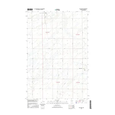
2016 Map of Blue Grass
USGS Topo · Published 2016About this map
Sebeka anchors the northwestern corner of this Wadena County landscape, where the prairie begins to give way to the wetlands of central Minnesota. The community of Blue Grass sits further east, connected by a network of county roads that carve the terrain into a traditional section-line grid. Significant for local history and genealogy, the map identifies Greenhill Cem near the northern border and Saint Huberts Cem in the east, providing fixed points for tracing family roots in this rural township. The meandering course of Hay Cr cuts through the northern sections, its path defined by the numerous marshy depressions and wetlands typical of this region's glacial geography. This 2016 survey documents the enduring agricultural character of the area, punctuated by a dense network of local routes like Co Hwy 10 and Co Rd 9.
Find a feature on this map
39 named features on this map. Tap any name to fly to it.
Don’t see what you’re looking for? This feature index may not catch every label — zoom into the map to look around manually.
Map Details
Editions of this 2016 Blue Grass Map
This is the sole edition of this map. No revisions or reprints were ever made.
Other maps of this area

1953 · Brainerd
USGS Topo · 1:250,000

1957 · Brainerd
USGS Topo · 1:250,000

1958 · Brainerd
USGS Topo · 1:250,000

1965 · Brainerd
USGS Topo · 1:250,000

1966 · Aldrich North
USGS Topo · 1:24,000

1969 · Sebeka SW
USGS Topo · 1:24,000

1969 · Sebeka
USGS Topo · 1:24,000

1969 · Sebeka NW
USGS Topo · 1:24,000

1969 · Wadena
USGS Topo · 1:24,000

1969 · Verndale
USGS Topo · 1:24,000