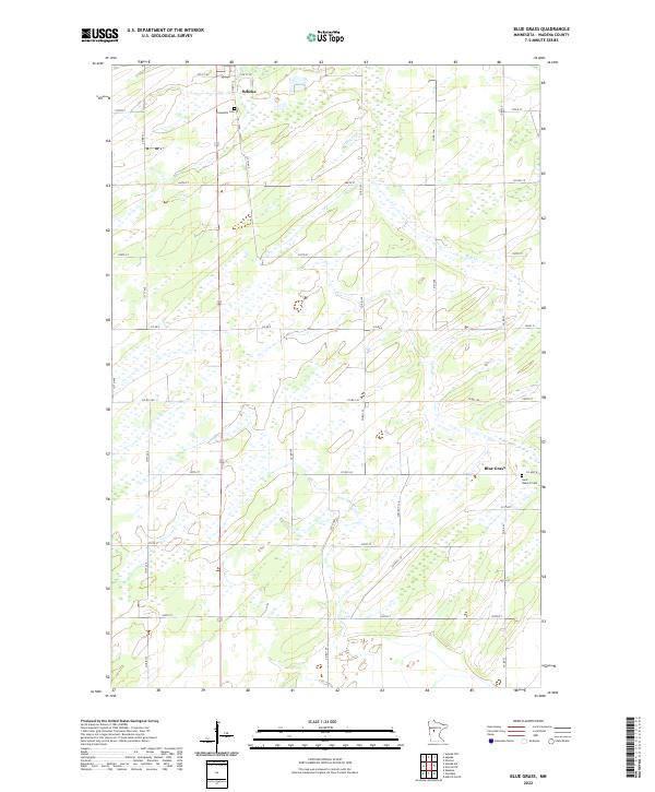
2022 Map of Blue Grass
USGS Topo · Published 2022About this map
Sebeka and the smaller settlement of Blue Grass anchor this portion of Wadena County, where the landscape is defined by a dense network of county roads and glacial wetlands. The terrain is relatively flat, as evidenced by the meandering path of Hay Cr, which drains the northern sections. This rural character is reflected in the land management system, which uses a strict grid of section lines and township boundaries such as t136n r35w.
Find a feature on this map
39 named features on this map. Tap any name to fly to it.
Don’t see what you’re looking for? This feature index may not catch every label — zoom into the map to look around manually.
Map Details
Editions of this 2022 Blue Grass Map
This is the sole edition of this map. No revisions or reprints were ever made.
Other maps of this area

1953 · Brainerd
USGS Topo · 1:250,000

1957 · Brainerd
USGS Topo · 1:250,000

1958 · Brainerd
USGS Topo · 1:250,000

1965 · Brainerd
USGS Topo · 1:250,000

1966 · Aldrich North
USGS Topo · 1:24,000

1969 · Sebeka SW
USGS Topo · 1:24,000

1969 · Sebeka
USGS Topo · 1:24,000

1969 · Sebeka NW
USGS Topo · 1:24,000

1969 · Wadena
USGS Topo · 1:24,000

1969 · Verndale
USGS Topo · 1:24,000