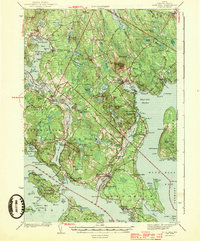
1944 Map of Blue Hill
USGS Topo · Published 1944About this map
The coastal landscapes of Hancock County are captured in detail during the early 1940s, revealing the complex maritime geography of the Blue Hill Peninsula. The map highlights the essential connection of the Deer Isle- Sedgwick Bridge spanning the Eggemoggin Reach, linking the mainland to the islands. Settlements such as Blue Hill, Brooklin, and Brooksville are shown with their local infrastructure, including the Grays Corner Sch and the Fair Grounds near the village of Blue Hill. The interior terrain is defined by low-lying wetlands like the Wight Heath Peat Bog and elevations such as Wallamatogus Mt. From the tidal dynamics at Blue Hill Falls to the quiet waters of Salt Pond, the map documents a region defined by its relationship with the Atlantic, showing numerous coves, points, and family-named landmarks that anchor the local heritage of this Maine coastline.
Find a feature on this map
162 named features on this map. Tap any name to fly to it.
Don’t see what you’re looking for? This feature index may not catch every label — zoom into the map to look around manually.
Map Details
Editions of this 1944 Blue Hill Map
3 editions found

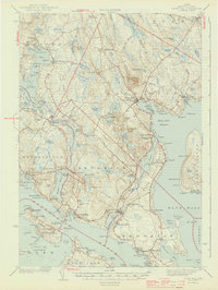
Other maps of this area

1900 · Orland
USGS Topo · 1:62,500

1900 · Bucksport
USGS Topo · 1:62,500

1902 · Bucksport
USGS Topo · 1:62,500

1902 · Castine
USGS Topo · 1:62,500

1904 · Deer Isle
USGS Topo · 1:62,500

1904 · Castine
USGS Topo · 1:62,500

1904 · Mount Desert
USGS Topo · 1:62,500

1904 · Swan Island
USGS Topo · 1:62,500

1904 · Bluehill
USGS Topo · 1:62,500

1904 · Vinalhaven
USGS Topo · 1:62,500