
1944 Map of Blue Hill
USGS Topo · Published 1944About this map
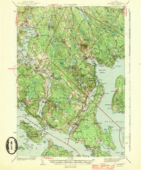
Blue Hill stands as the central landmark of this coastal Hancock County landscape, overseeing a complex network of bays, ponds, and small villages during the early 1940s. The region is defined by its maritime orientation, with settlements like Brooksville, Sedgwick, and Brooklin scattered along the jagged shoreline of the Bagaduce River and the Eggemoggin Reach. Notable local infrastructure includes the Deer Isle-Sedgwick Bridge and the Fair Grounds just outside the main village of Blue Hill. For genealogists, the map identifies several local burial sites such as Pine Grove Cem and Forest Home Cem, alongside small rural institutions like the Grays Corner Sch and Brooklin Sch. The interior terrain is a mix of high points like Wallamatagus Mt and significant wetland features including Toddy Pond and the Wight Heath Peat Bog.
Find a feature on this map
157 named features on this map. Tap any name to fly to it.
Don’t see what you’re looking for? This feature index may not catch every label — zoom into the map to look around manually.
Map Details
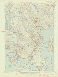
Editions of this 1944 Blue Hill Map
3 editions found
Other maps of this area

1900 · Orland
USGS Topo · 1:62,500

1900 · Bucksport
USGS Topo · 1:62,500

1902 · Bucksport
USGS Topo · 1:62,500

1902 · Castine
USGS Topo · 1:62,500

1904 · Deer Isle
USGS Topo · 1:62,500

1904 · Castine
USGS Topo · 1:62,500

1904 · Mount Desert
USGS Topo · 1:62,500

1904 · Swan Island
USGS Topo · 1:62,500

1904 · Bluehill
USGS Topo · 1:62,500

1904 · Vinalhaven
USGS Topo · 1:62,500