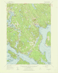
1957 Map of Blue Hill
USGS Topo · Published 1959About this map
Blue Hill stands as the central hub of this coastal Hancock County landscape, where the seafaring tradition of the mid-20th century meets the agricultural interior. The map illustrates a complex network of coastal reaches and inlets, including Blue Hill Harbor and the Benjamin River, which define the social and economic boundaries of settlements like Sargentville and South Brooksville. Inland, the terrain is marked by prominent elevations such as Wallamatogus Mtn and Chandler Parker Mtn, while the rural character is emphasized by numerous local landmarks including the Number Three Chapel and Rockbound Chapel. For those tracing local heritage, several small burial grounds are documented, such as Forest Home Cem and Lakeview Cem. The transition from land to sea is punctuated by numerous named islands like Little Deer Isle and Carleton Island, highlighting the intricate maritime geography before modern coastal development reshaped the area's shoreline access.
Find a feature on this map
138 named features on this map. Tap any name to fly to it.
Don’t see what you’re looking for? This feature index may not catch every label — zoom into the map to look around manually.
Map Details
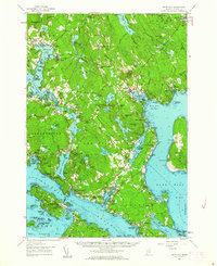
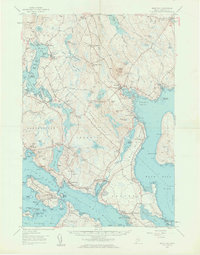
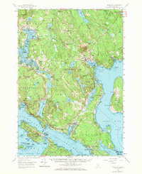
Editions of this 1957 Blue Hill Map
4 editions found
Other maps of this area

1900 · Orland
USGS Topo · 1:62,500

1900 · Bucksport
USGS Topo · 1:62,500

1902 · Bucksport
USGS Topo · 1:62,500

1902 · Castine
USGS Topo · 1:62,500

1904 · Deer Isle
USGS Topo · 1:62,500

1904 · Castine
USGS Topo · 1:62,500

1904 · Mount Desert
USGS Topo · 1:62,500

1904 · Swan Island
USGS Topo · 1:62,500

1904 · Bluehill
USGS Topo · 1:62,500

1904 · Vinalhaven
USGS Topo · 1:62,500