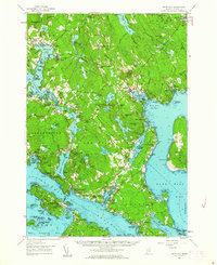
1957 Map of Blue Hill
USGS Topo · Published 1963About this map
The coastal peninsula of Sedgwick and Brooklin is captured here in the mid-1950s, revealing an intricate landscape of tidal coves and granite ridges. This coastal economy is anchored by small harbors and inland farming settlements like Sargentville and North Sedgwick. The map details the transition from high points such as Wallamatogus Mtn and Blue Hill down to the deeply indented shoreline of the Bagaduce River and Blue Hill Harbor. Local social life and faith are marked by landmarks like the Fair Grounds, the Blue Hill Country Club, and the Rockbound Chapel. A network of family-named cemeteries, including Hutchins Cem and Bridges Cem, provides an invaluable record for genealogists tracing the established families of the Blue Hill Peninsula before the expansion of modern coastal tourism. The presence of the Black Corner Substation and specialized boggy areas like Wight Heath reflect a landscape both industrializing and naturally preserved.
Find a feature on this map
185 named features on this map. Tap any name to fly to it.
Don’t see what you’re looking for? This feature index may not catch every label — zoom into the map to look around manually.
Map Details
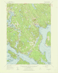
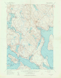
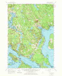
Editions of this 1957 Blue Hill Map
4 editions found
Other maps of this area

1900 · Orland
USGS Topo · 1:62,500

1900 · Bucksport
USGS Topo · 1:62,500

1902 · Bucksport
USGS Topo · 1:62,500

1902 · Castine
USGS Topo · 1:62,500

1904 · Deer Isle
USGS Topo · 1:62,500

1904 · Castine
USGS Topo · 1:62,500

1904 · Mount Desert
USGS Topo · 1:62,500

1904 · Swan Island
USGS Topo · 1:62,500

1904 · Bluehill
USGS Topo · 1:62,500

1904 · Vinalhaven
USGS Topo · 1:62,500