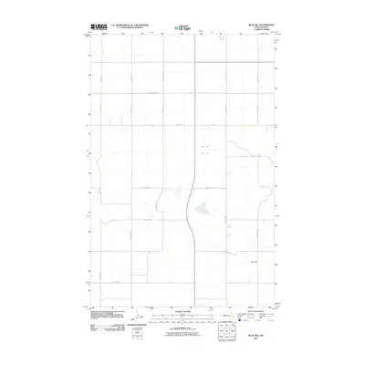
2011 Map of Blue Hill
USGS Topo · Published 2011About this map
Blue Hill stands as the primary namesake landmark in this corner of Ward County, defining a landscape marked by the precise grid of the Public Land Survey System. The map reveals an agrarian layout where North Dakota's section lines have dictated the placement of local thoroughfares like 29th St NW and 50th Ave NW. These roads connect scattered homesteads and farming operations that characterize the region's rural development. While the terrain is relatively open, the inclusion of intermittent water features and local drainage patterns provides a look at the natural hydrology that local farmers have navigated for generations. This 2011 edition serves as a clear record of the modern road network, including routes like 24th St NW, before subsequent shifts in the regional energy or agricultural economy.
Find a feature on this map
19 named features on this map. Tap any name to fly to it.
Don’t see what you’re looking for? This feature index may not catch every label — zoom into the map to look around manually.
Map Details
Editions of this 2011 Blue Hill Map
This is the sole edition of this map. No revisions or reprints were ever made.
Other maps of this area

1954 · McClusky
USGS Topo · 1:250,000

1956 · Emmet NE
USGS Topo · 1:24,000

1956 · Blackwater Lake
USGS Topo · 1:24,000

1956 · Blue Hill
USGS Topo · 1:24,000

1956 · Emmet
USGS Topo · 1:24,000

1956 · Douglas West
USGS Topo · 1:24,000

1956 · Roseglen
USGS Topo · 1:24,000

1958 · McClusky
USGS Topo · 1:250,000

1980 · Lake Vernon
USGS Topo · 1:24,000

1980 · Makoti
USGS Topo · 1:24,000