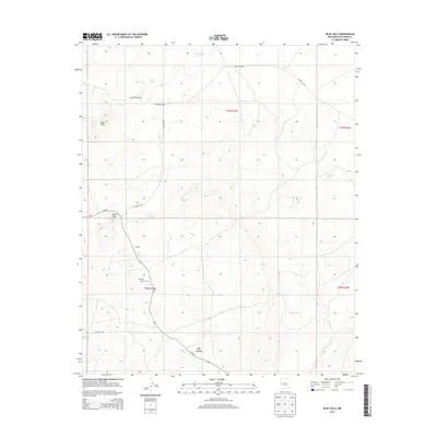
2013 Map of Blue Hills
USGS Topo · Published 2013About this map
Pie Town sits at the southern edge of this high-altitude landscape, where the continental divide marks a region defined by ranching and high-desert water management. The map details a network of essential water sources for livestock and local homesteaders, including San Antone Lake, Flood Tank, and W Hubbell Tank. These features represent the critical infrastructure required to sustain life in Catron County's arid terrain.
Find a feature on this map
19 named features on this map. Tap any name to fly to it.
Don’t see what you’re looking for? This feature index may not catch every label — zoom into the map to look around manually.
Map Details
Editions of this 2013 Blue Hills Map
This is the sole edition of this map. No revisions or reprints were ever made.
Other maps of this area

1954 · Saint Johns
USGS Topo · 1:250,000

1957 · Saint Johns
USGS Topo · 1:250,000

1958 · Saint Johns
USGS Topo · 1:250,000

1962 · Saint Johns
USGS Topo · 1:250,000

1967 · Omega
USGS Topo · 1:24,000
1967 · Tres Lagunas
USGS Topo · 1:24,000
1967 · York Ranch SE
USGS Topo · 1:24,000
1967 · Red Flats
USGS Topo · 1:24,000

1967 · Adams Diggings
USGS Topo · 1:24,000

1967 · Blue Hills
USGS Topo · 1:24,000