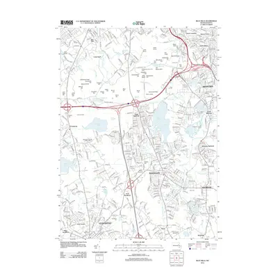
2012 Map of Blue Hills
USGS Topo · Published 2012About this map
The Blue Hill Range defines the northern topography of this region, featuring prominent heights like Great Blue Hill and Chickatawbut Hill. This natural barrier shaped the development of the surrounding communities, creating a corridor for the Blue Hill River and major transit routes that navigate through Wildcat Notch. The landscape is a mix of dense residential planning in Quincy Center and South Braintree contrasted against the preserved open spaces of Camp Sayre and the Hollis Memorial Golf Course.
Find a feature on this map
381 named features on this map. Tap any name to fly to it.
Don’t see what you’re looking for? This feature index may not catch every label — zoom into the map to look around manually.
Map Details
Editions of this 2012 Blue Hills Map
This is the sole edition of this map. No revisions or reprints were ever made.
Other maps of this area

1885 · Abington
USGS Topo · 1:62,500

1886 · Dedham
USGS Topo · 1:62,500

1888 · Abington
USGS Topo · 1:62,500

1892 · Boston Bay
USGS Topo · 1:62,500

1893 · Abington
USGS Topo · 1:62,500

1893 · Boston
USGS Topo · 1:62,500

1894 · Dedham
USGS Topo · 1:62,500

1903 · Boston
USGS Topo · 1:62,500

1903 · Boston Bay
USGS Topo · 1:62,500

1919 · Dedham
USGS Topo · 1:62,500