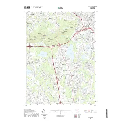
2021 Map of Blue Hills
USGS Topo · Published 2021About this map
Blue Hills dominates the northern landscape of this Norfolk County survey, rising above the surrounding suburbs of Boston, Milton, and Quincy. The rugged terrain of the Blue Hill Range features numerous named peaks such as Great Blue Hill and Chickatawbut Hill, alongside distinctive geological landmarks like Babel Rock and Hole in Rock. These highlands provide a natural buffer between the dense residential developments of Randolph and Braintree to the south and east.
Find a feature on this map
133 named features on this map. Tap any name to fly to it.
Don’t see what you’re looking for? This feature index may not catch every label — zoom into the map to look around manually.
Map Details
Editions of this 2021 Blue Hills Map
This is the sole edition of this map. No revisions or reprints were ever made.
Other maps of this area

1885 · Abington
USGS Topo · 1:62,500

1886 · Dedham
USGS Topo · 1:62,500

1888 · Abington
USGS Topo · 1:62,500

1892 · Boston Bay
USGS Topo · 1:62,500

1893 · Abington
USGS Topo · 1:62,500

1893 · Boston
USGS Topo · 1:62,500

1894 · Dedham
USGS Topo · 1:62,500

1903 · Boston
USGS Topo · 1:62,500

1903 · Boston Bay
USGS Topo · 1:62,500

1919 · Dedham
USGS Topo · 1:62,500