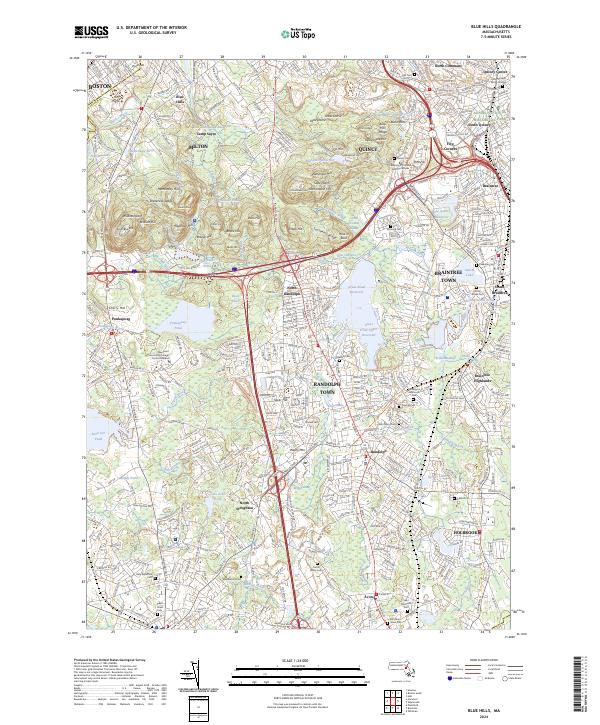
2024 Map of Blue Hills
USGS Topo · Published 2024About this map
The Blue Hills range dominates this portion of Norfolk County, creating a prominent natural relief between the urban density of Quincy and the outlying townships of Braintree Town and Randolph Town. The northern landscape is anchored by the Adams National Historical Park and the historic Christ Church Burial Ground, reflecting the deep colonial and post-Revolutionary roots of the area. Significant water bodies such as Ponkapoag Pond and the Great Pond Reservoir define the local drainage, feeding into networks like the Cochato River and Farm River. Cultural and educational landmarks like Curry College and the University of Phoenix Boston Campus are situated among a high concentration of recreational and conservation areas, including Camp Sayre and numerous summits like Great Blue Hill and Nahanton Hill.
Find a feature on this map
114 named features on this map. Tap any name to fly to it.
Don’t see what you’re looking for? This feature index may not catch every label — zoom into the map to look around manually.
Map Details
Editions of this 2024 Blue Hills Map
This is the sole edition of this map. No revisions or reprints were ever made.
Other maps of this area

1885 · Abington
USGS Topo · 1:62,500

1886 · Dedham
USGS Topo · 1:62,500

1888 · Abington
USGS Topo · 1:62,500

1892 · Boston Bay
USGS Topo · 1:62,500

1893 · Abington
USGS Topo · 1:62,500

1893 · Boston
USGS Topo · 1:62,500

1894 · Dedham
USGS Topo · 1:62,500

1903 · Boston
USGS Topo · 1:62,500

1903 · Boston Bay
USGS Topo · 1:62,500

1919 · Dedham
USGS Topo · 1:62,500