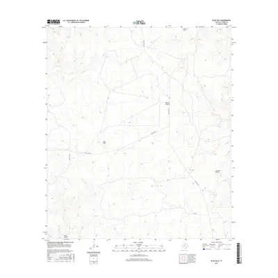
2016 Map of Blue Hills
USGS Topo · Published 2016About this map
The Blue Hills rise above the high desert floor of Val Verde County in this survey of West Texas. This arid landscape is defined by its deep drainages and intermittent watercourses, including the prominent Duncan Draw and Wallace Canyon to the north. These features illustrate the natural erosive patterns that have shaped the limestone-rich terrain over millennia, creating a complex network of relief that dictates the human passage through this territory.
Find a feature on this map
9 named features on this map. Tap any name to fly to it.
Don’t see what you’re looking for? This feature index may not catch every label — zoom into the map to look around manually.
Map Details
Editions of this 2016 Blue Hills Map
This is the sole edition of this map. No revisions or reprints were ever made.
Other maps of this area

1943 · Shumla
USGS Topo · 1:62,500

1944 · Baker Crossing
USGS Topo · 1:62,500

1954 · Sonora
USGS Topo · 1:250,000

1958 · Sonora
USGS Topo · 1:250,000

1958 · Del Rio
USGS Topo · 1:250,000

1964 · Del Rio
USGS Topo · 1:250,000

1970 · Everett Canyon
USGS Topo · 1:24,000

1970 · Steel Star Draw
USGS Topo · 1:24,000

1970 · Sycamore Canyon
USGS Topo · 1:24,000

1970 · Blue Hills
USGS Topo · 1:24,000