
1968 Map of Blue Hole
USGS Topo · Published 1971About this map
Canadian River waters wind through the northern reaches of this high plains landscape, where the survival of cattle and kin in the late 1960s depended heavily on a network of isolated windmills and tanks. The terrain is defined by the deep incisions of Arroyo Rana and its canyons, leading toward the distinctively named Blue Hole in the east. Settlement is sparse, represented by the Collins Ranch and a small Cem that speaks to the genealogy of early ranching families in Quay County. The map documents an era of wide-open ranching infrastructure, capturing numerous named landmarks like Johnson Windmill, Lackey Windmill, and Mesquital Tank. These features illustrate how water management dictated the footprint of human activity across this portion of the Llano Estacado, providing a detailed record of land use and family holdings during the mid-twentieth century.
Find a feature on this map
24 named features on this map. Tap any name to fly to it.
Don’t see what you’re looking for? This feature index may not catch every label — zoom into the map to look around manually.
Map Details
Editions of this 1968 Blue Hole Map
This is the sole edition of this map. No revisions or reprints were ever made.
Other maps of this area

1954 · Tucumcari
USGS Topo · 1:250,000

1958 · Tucumcari
USGS Topo · 1:250,000

1962 · Logan
USGS Topo · 1:62,500

1968 · Porter
USGS Topo · 1:24,000

1968 · Bard
USGS Topo · 1:24,000

1968 · Glenrio
USGS Topo · 1:24,000

1968 · Cammak Camp
USGS Topo · 1:24,000

1968 · Sanchez Springs
USGS Topo · 1:24,000
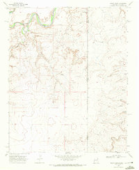
1968 · Martin Draw
USGS Topo · 1:24,000
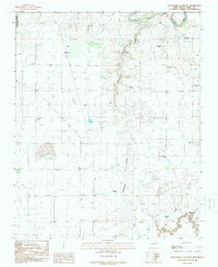
1989 · Tuscocoillo Canyon
USGS Topo · 1:24,000