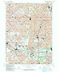
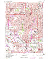
1993 Map of Blue Island
USGS Topo · Published 1993About this map
Blue Island and the surrounding south side Chicago neighborhoods appear here in the early 1990s as a dense grid of industrial and residential history. The landscape is notably defined by its massive memorial grounds, including the expansive Evergreen Cemetery, St Casimir Cemetery, and Mt Hope Cemetery, which serve as significant genealogical landmarks for the region. The map highlights a complex infrastructure of transport and education, from the Union Pacific rail lines to prominent institutions like St Xavier College and the Morgan Park Academy. Waterways such as the Calumet Sag Channel and the Little Calumet River cut through the industrial corridors of Harvey and Riverdale, illustrating the intersection of natural drainage and man-made navigation that fueled the growth of Cook County's southern suburbs.
Find a feature on this map
96 named features on this map. Tap any name to fly to it.
Don’t see what you’re looking for? This feature index may not catch every label — zoom into the map to look around manually.
Map Details
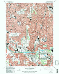
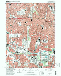
Editions of this 1993 Blue Island Map
2 editions found
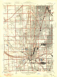
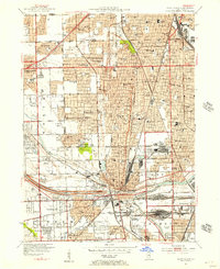
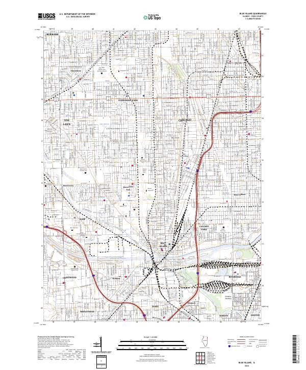
Historical Maps of Chicago Through Time
6 maps found
Featured Locations
- Chicago, IL
- Blue Island, IL
- Oak Lawn, Worth Township
- Oak Forest, Bremen Township
- Burbank, Stickney Township