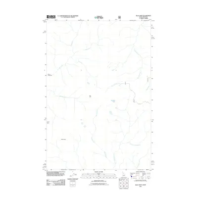
2011 Map of Blue Joint
USGS Topo · Published 2011About this map
Surprise Creek Camp sits at the western edge of this Bitterroot National Forest landscape, where high mountain drainage systems converge. The terrain is defined by its deep creek valleys, including the substantial Blue Joint Creek and its many tributaries such as Saddle Creek and Deer Creek. Rising above the watercourses is the prominent summit of Squaw Peak, while the central portion of the sheet features the high-elevation Reynolds Lake. This 2011 survey documents a wilderness environment largely accessed by forest routes like F R 044, showing the complex hydrography of the Blue Joint region where Reynolds Creek and its East Fork flow through steep-sided basins. The presence of Storm Creek Flat provides a rare level opening along the upper reaches of Storm Creek, illustrating the varied topography found at the Montana-Idaho border.
Find a feature on this map
15 named features on this map. Tap any name to fly to it.
Don’t see what you’re looking for? This feature index may not catch every label — zoom into the map to look around manually.
Map Details
Editions of this 2011 Blue Joint Map
This is the sole edition of this map. No revisions or reprints were ever made.
Other maps of this area

1956 · Elk City
USGS Topo · 1:250,000

1960 · Elk City
USGS Topo · 1:250,000

1960 · Painted Rocks Lake
USGS Topo · 1:62,500

1960 · Shoup
USGS Topo · 1:62,500

1962 · Wood Hump
USGS Topo · 1:24,000

1962 · Beaver Jack Mtn
USGS Topo · 1:24,000

1962 · Blue Joint
USGS Topo · 1:24,000

1962 · Square Top
USGS Topo · 1:24,000

1962 · Horse Creek Butte
USGS Topo · 1:24,000

1962 · Nez Perce Peak
USGS Topo · 1:24,000