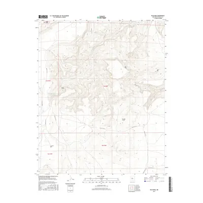
2017 Map of Blue Mesa
USGS Topo · Published 2017About this map
Blue Mesa and the expansive Cebollita Mesa dominate this high-desert landscape in Cibola County, New Mexico. The terrain is deeply incised by significant drainages such as Acoma Canyon and Paradise Canyon, illustrating the complex erosion patterns characteristic of this region. Essential water sources are sparsely distributed but clearly marked, including Spider Spring, Butterfly Spring, and Swamp Spring, which likely served as vital landmarks for travel and ranching in this arid environment. The road network is defined by Bureau of Indian Affairs routes, such as Indian Svc Rte 37 and Indian Svc Rte 21, which follow the contours of the mesas and navigate around features like Piñon Mtn. This survey provides a precise record of the land use and accessibility within the Acoma Indian Reservation as it existed in 2017.
Find a feature on this map
20 named features on this map. Tap any name to fly to it.
Don’t see what you’re looking for? This feature index may not catch every label — zoom into the map to look around manually.
Map Details
Editions of this 2017 Blue Mesa Map
This is the sole edition of this map. No revisions or reprints were ever made.
Other maps of this area

1917 · Broom Mountain
USGS Topo · 1:125,000

1954 · Socorro
USGS Topo · 1:250,000

1958 · Socorro
USGS Topo · 1:250,000
1961 · Acoma Pueblo
USGS Topo · 1:24,000
1961 · Crow Point
USGS Topo · 1:24,000
1961 · East Mesa
USGS Topo · 1:24,000
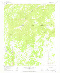
1961 · Blue Mesa
USGS Topo · 1:24,000
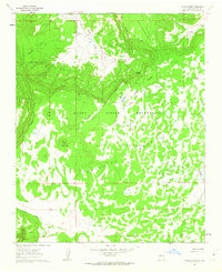
1961 · Laguna Honda
USGS Topo · 1:24,000
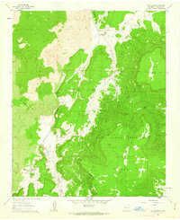
1961 · Los Pilares
USGS Topo · 1:24,000

1962 · Socorro
USGS Topo · 1:250,000