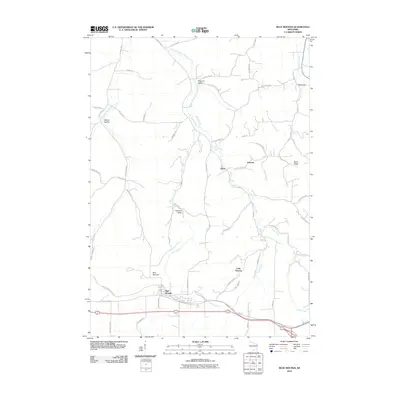
2010 Map of Blue Mounds
USGS Topo · Published 2010About this map
Blue Mounds anchors this portion of Dane County, marking a landscape where high ridges meet the headwaters of numerous radiating streams. The 2010 topography shows a network of valley settlements and named hollows, including Little Norway and Walnut Hollow, connected by winding roads that follow the natural contours of the Driftless Area. This map illustrates the transition from traditional farming communities to preserved recreational spaces, as seen in the route of the Military Ridge State Trl and the proximity of Cave of the Mounds Rd.
Find a feature on this map
54 named features on this map. Tap any name to fly to it.
Don’t see what you’re looking for? This feature index may not catch every label — zoom into the map to look around manually.
Map Details
Editions of this 2010 Blue Mounds Map
This is the sole edition of this map. No revisions or reprints were ever made.
Other maps of this area

1907 · Cross Plains
USGS Topo · 1:62,500

1909 · Cross Plains
USGS Topo · 1:62,500

1920 · Blue Mounds
USGS Topo · 1:62,500

1922 · Blue Mounds
USGS Topo · 1:62,500

1923 · Blanchardville
USGS Topo · 1:62,500

1923 · New Glarus
USGS Topo · 1:62,500

1954 · Rockford
USGS Topo · 1:250,000

1955 · Rockford
USGS Topo · 1:250,000

1957 · Madison
USGS Topo · 1:250,000

1958 · Rockford
USGS Topo · 1:250,000