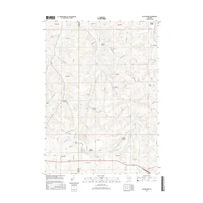
2016 Map of Blue Mounds
USGS Topo · Published 2016About this map
The boundary between Iowa and Dane Counties cuts through this landscape of high ridges and narrow valleys, dominated by the prominent elevation of Blue Mounds. This area represents a well-preserved collection of early Wisconsin settlements and rural landmarks, from the historic living museum at Little Norway to the tiny hamlet of Elvers. The map details a complex drainage system where the West Branch Blue Mounds Creek and East Branch Blue Mounds Creek carve through the terrain, separated by high ground like Sand Ridge.
Find a feature on this map
82 named features on this map. Tap any name to fly to it.
Don’t see what you’re looking for? This feature index may not catch every label — zoom into the map to look around manually.
Map Details
Editions of this 2016 Blue Mounds Map
This is the sole edition of this map. No revisions or reprints were ever made.
Other maps of this area

1907 · Cross Plains
USGS Topo · 1:62,500

1909 · Cross Plains
USGS Topo · 1:62,500

1920 · Blue Mounds
USGS Topo · 1:62,500

1922 · Blue Mounds
USGS Topo · 1:62,500

1923 · Blanchardville
USGS Topo · 1:62,500

1923 · New Glarus
USGS Topo · 1:62,500

1954 · Rockford
USGS Topo · 1:250,000

1955 · Rockford
USGS Topo · 1:250,000

1957 · Madison
USGS Topo · 1:250,000

1958 · Rockford
USGS Topo · 1:250,000