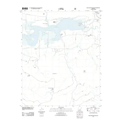
2011 Map of Blue Mountain Dam
USGS Topo · Published 2011About this map
Blue Mountain Lake dominates the upper half of this landscape, created by the Blue Mountain Dam along the Petit Jean River. The surrounding area is characterized by several distinct peaks including Potato Hill Mountain, Flood Mountain, and Dry Creek Mountain, which rise above the river valleys. For those researching local families, the map identifies several burial grounds such as the Alexander A Scott Cemetery, Rock Creek Cemetery, and the Small Smith Cemetery located near Quarry Heights. The settlement of Waveland serves as a local hub near the lake, featuring the Waveland Post Office and several public recreation sites including the Ashley Creek Recreation Area and Waveland Park Recreation Area, which reflect the area's development for utility and leisure.
Find a feature on this map
50 named features on this map. Tap any name to fly to it.
Don’t see what you’re looking for? This feature index may not catch every label — zoom into the map to look around manually.
Map Details
Editions of this 2011 Blue Mountain Dam Map
This is the sole edition of this map. No revisions or reprints were ever made.
Other maps of this area

1879 · Mountain Home
USGS Topo · 1:62,500

1887 · Magazine Mountain #4
USGS Topo · 1:62,500

1887 · Mount Ida #2
USGS Topo · 1:62,500

1887 · Magazine Mountain #3
USGS Topo · 1:62,500

1887 · Magazine Mountain
USGS Topo · 1:62,500

1890 · Magazine Mountain
USGS Topo · 1:125,000

1890 · Mount Ida
USGS Topo · 1:125,000

1934 · Booneville
USGS Topo · 1:48,000

1939 · Booneville
USGS Topo · 1:62,500

1955 · Little Rock
USGS Topo · 1:250,000