
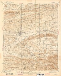
1939 Map of Booneville
USGS Topo · Published 1939About this map
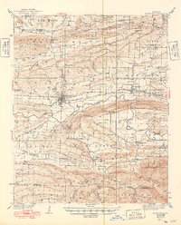
Booneville serves as the central hub of this Logan County landscape, situated where the Chicago Rock Island and Pacific railroad tracks bisect the valley. The map reveals a robust network of rural institutions, from the State Sanatorium south of town to numerous country churches like Mt Olive Ch and Wesley Chapel. Settlement patterns follow the fertile corridors between high ridges, with small communities such as Magazine, Chismville, and Driggs connected by early roads including U.S. Route No. 71.
Find a feature on this map
78 named features on this map. Tap any name to fly to it.
Don’t see what you’re looking for? This feature index may not catch every label — zoom into the map to look around manually.
Map Details
Editions of this 1939 Booneville Map
3 editions found
Other maps of this area

1879 · Poteau Mountain
USGS Topo · 1:62,500

1879 · Mountain Home
USGS Topo · 1:62,500

1887 · Poteau Mountain #1
USGS Topo · 1:62,500

1887 · Magazine Mountain #1
USGS Topo · 1:62,500

1887 · Magazine Mountain #4
USGS Topo · 1:62,500

1887 · Mount Ida #2
USGS Topo · 1:62,500

1887 · Magazine Mountain #2
USGS Topo · 1:62,500

1887 · Magazine Mountain #3
USGS Topo · 1:62,500

1887 · Magazine Mountain
USGS Topo · 1:62,500

1890 · Magazine Mountain
USGS Topo · 1:125,000