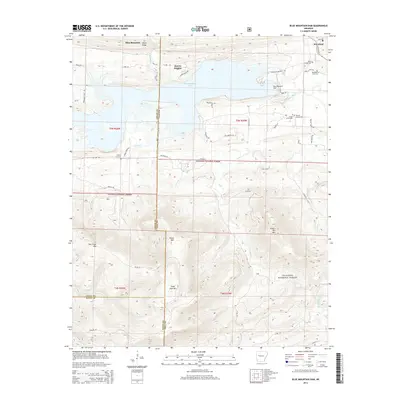
2014 Map of Blue Mountain Dam
USGS Topo · Published 2014About this map
Blue Mountain Lake and the Petit Jean River dominate this portion of the Arkansas landscape, where the foothills of the Ouachita National Forest meet the water's edge. The 2014 survey documents the area around the Blue Mountain Dam, a significant engineering feature that regulates the river's flow and shapes the local geography. Settlements like Waveland and Quarry Heights are situated near the reservoir, providing access to the recreational and utility corridors along the northern shore.
Find a feature on this map
61 named features on this map. Tap any name to fly to it.
Don’t see what you’re looking for? This feature index may not catch every label — zoom into the map to look around manually.
Map Details
Editions of this 2014 Blue Mountain Dam Map
This is the sole edition of this map. No revisions or reprints were ever made.
Other maps of this area

1879 · Mountain Home
USGS Topo · 1:62,500

1887 · Magazine Mountain #4
USGS Topo · 1:62,500

1887 · Mount Ida #2
USGS Topo · 1:62,500

1887 · Magazine Mountain #3
USGS Topo · 1:62,500

1887 · Magazine Mountain
USGS Topo · 1:62,500

1890 · Magazine Mountain
USGS Topo · 1:125,000

1890 · Mount Ida
USGS Topo · 1:125,000

1934 · Booneville
USGS Topo · 1:48,000

1939 · Booneville
USGS Topo · 1:62,500

1955 · Little Rock
USGS Topo · 1:250,000