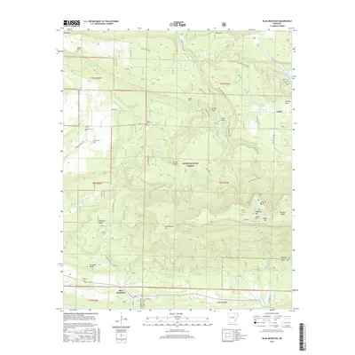
2017 Map of Blue Mountain
USGS Topo · Published 2017About this map
Signal Hill and Magazine Mtn dominate the eastern half of this landscape, rising within the Ozark National Forest. This terrain is defined by dramatic elevations and significant geological features such as Cameron Bluff, Mossback Ridge, and Huckleberry Flat. The network of trails, including the Mt. Magazine Trail, suggests a region long utilized for its height and vantage points.
Find a feature on this map
69 named features on this map. Tap any name to fly to it.
Don’t see what you’re looking for? This feature index may not catch every label — zoom into the map to look around manually.
Map Details
Editions of this 2017 Blue Mountain Map
This is the sole edition of this map. No revisions or reprints were ever made.
Other maps of this area

1879 · Mountain Home
USGS Topo · 1:62,500

1887 · Magazine Mountain #1
USGS Topo · 1:62,500

1887 · Magazine Mountain #4
USGS Topo · 1:62,500

1887 · Magazine Mountain #2
USGS Topo · 1:62,500

1887 · Magazine Mountain #3
USGS Topo · 1:62,500

1887 · Magazine Mountain
USGS Topo · 1:62,500

1890 · Magazine Mountain
USGS Topo · 1:125,000

1934 · Booneville
USGS Topo · 1:48,000

1939 · Booneville
USGS Topo · 1:62,500

1956 · Russellville
USGS Topo · 1:250,000