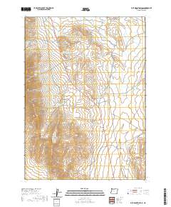
2020 Map of Blue Mountain Pass
USGS Topo · Published 2020About this map
Blue Mountain Pass serves as the central focal point of this high-desert landscape in Malheur County, where the infrastructure of water management dominates the map. The area is characterized by an extensive network of small impoundments and catchments, including Blue Mountain Reservoir Number One, Blue Mountain Reservoir Number Two, and Blue Mountain Reservoir Number Five, suggesting a region heavily utilized for livestock grazing. Notable landmarks like The Cap and The Table define the elevation changes across this arid territory.
Find a feature on this map
23 named features on this map. Tap any name to fly to it.
Don’t see what you’re looking for? This feature index may not catch every label — zoom into the map to look around manually.
Map Details
Editions of this 2020 Blue Mountain Pass Map
This is the sole edition of this map. No revisions or reprints were ever made.
Other maps of this area

1955 · Jordan Valley
USGS Topo · 1:250,000

1957 · Jordan Valley
USGS Topo · 1:250,000

1958 · Jordan Valley
USGS Topo · 1:250,000

1982 · Battle Mtn
USGS Topo · 1:24,000
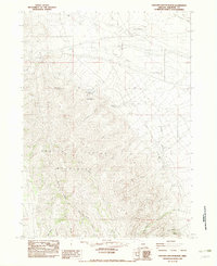
1982 · Oregon Canyon Ranch
USGS Topo · 1:24,000
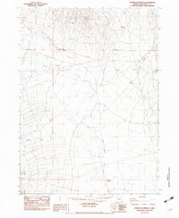
1982 · Bowden Waterhole
USGS Topo · 1:24,000
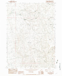
1982 · Jackson Summit
USGS Topo · 1:24,000
1982 · Basque
USGS Topo · 1:24,000
1982 · Battle Creek Ranch
USGS Topo · 1:24,000
1982 · Three Man Butte Well
USGS Topo · 1:24,000