2022 Map of Blue Ridge
USGS Topo · Published 2022About this map
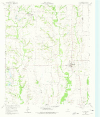
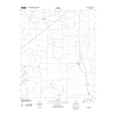
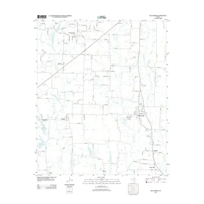
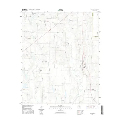
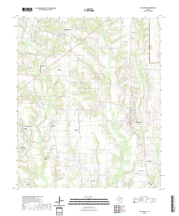
Blue Ridge and the surrounding northeast Texas countryside are defined by a network of creeks and small farming communities. Drainages such as Pilot Grove Cr and Sister Grove Cr carve through the landscape, influencing the placement of settlements like Valdasta, Verona, and Fayburg. The map reveals a high density of rural cemeteries and places of worship, including Snow Hill Baptist Church Cem, Elm Grove Cem, and Grounds Cem, which serve as vital landmarks for genealogical research in this part of Collin County. The presence of the Blue Ridge Airport and the expansion of Anna in the northwest corner reflect the modern shifts in transportation and development, while the boundary of the Collin Co Fannin Co line marks the eastern edge of the survey.
Find a feature on this map
89 named features on this map. Tap any name to fly to it.
Don’t see what you’re looking for? This feature index may not catch every label — zoom into the map to look around manually.
Map Details
Editions of this 2022 Blue Ridge Map
This is the sole edition of this map. No revisions or reprints were ever made.
Historical Maps of Anna Through Time
6 maps found