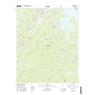
2017 Map of Blue Ridge
USGS Topo · Published 2017About this map
Blue Ridge serves as the focal point for this section of Fannin County, where the iron rails of the Blue Ridge railroad bisect the town's street grid. The settlement pattern here is deeply influenced by the high elevations of the Chattahoochee National Forest, with development clustered along the corridor between Maxwell and Cherry Log. Evidence of an earlier water-powered economy is preserved through numerous sites like Elrod Mill, Greens Mill, and Stewart Mill, which sit along the drainages of Weaver Creek and Charlie Creek.
Find a feature on this map
136 named features on this map. Tap any name to fly to it.
Don’t see what you’re looking for? This feature index may not catch every label — zoom into the map to look around manually.
Map Details
Editions of this 2017 Blue Ridge Map
This is the sole edition of this map. No revisions or reprints were ever made.
Other maps of this area

1888 · Ellijay
USGS Topo · 1:125,000

1892 · Ellijay
USGS Topo · 1:125,000

1898 · Ellijay
USGS Topo · 1:125,000

1911 · Ellijay
USGS Topo · 1:125,000

1935 · Epworth
USGS Topo · 1:24,000

1935 · Noontootla
USGS Topo · 1:24,000

1935 · Mineral Bluff
USGS Topo · 1:24,000
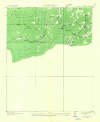
1935 · Cashes Valley
USGS Topo · 1:24,000

1935 · Lake Toccoa
USGS Topo · 1:24,000

1935 · Tickanetley
USGS Topo · 1:24,000