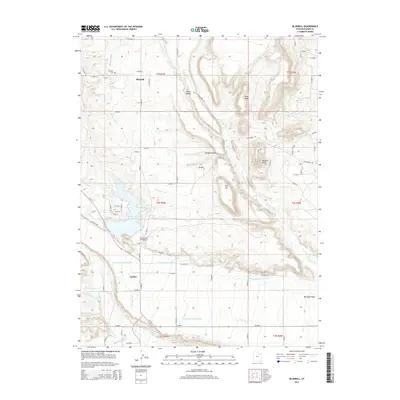
2014 Map of Bluebell
USGS Topo · Published 2014About this map
Bluebell and Upalco anchor this High Uinta foothills landscape, where a sophisticated network of irrigation channels defines the high desert agriculture. The intricate water system, featuring the Bluebell Lateral, Purdy Canal, and several branches of the N Lateral Lake Fork Canal, demonstrates the region's reliance on managed water resources. These man-made waterways navigate the varied topography of Water Hollow and Gundy Hollow, eventually feeding into larger features like the Big Sand Wash Reservoir. To the south, the Lake Fork River cuts through the terrain near where the Red Cap Canal begins its course. Local history is grounded at the Bluebell Cem and recreation is centered at the Big Sand Lake Campground, illustrating a community deeply integrated with its hydraulic infrastructure and the natural breaks of Pine Ridge and Flat Top.
Find a feature on this map
52 named features on this map. Tap any name to fly to it.
Don’t see what you’re looking for? This feature index may not catch every label — zoom into the map to look around manually.
Map Details
Editions of this 2014 Bluebell Map
This is the sole edition of this map. No revisions or reprints were ever made.
Other maps of this area

1885 · Uinta
USGS Topo · 1:250,000

1939 · Duchesne
USGS Topo · 1:125,000

1954 · Salt Lake City
USGS Topo · 1:250,000

1958 · Salt Lake City
USGS Topo · 1:250,000

1960 · Salt Lake City
USGS Topo · 1:250,000
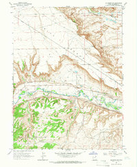
1964 · Duchesne NE
USGS Topo · 1:24,000
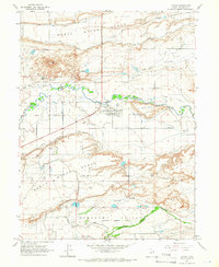
1964 · Myton
USGS Topo · 1:24,000
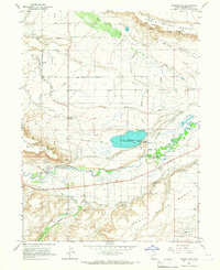
1964 · Bridgeland
USGS Topo · 1:24,000
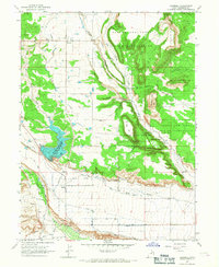
1965 · Bluebell
USGS Topo · 1:24,000
1965 · Neola
USGS Topo · 1:24,000