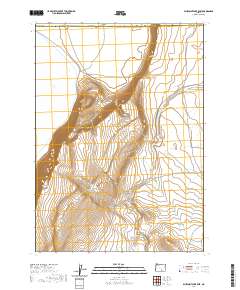
2020 Map of Bluejoint Lake East
USGS Topo · Published 2020About this map
Warner Valley's high-desert terrain is the central focus of this survey, dominated by the massive verticality of Poker Jim Ridge. This escarpment drops sharply toward the ephemeral bed of Bluejoint Lake, illustrating the stark geologic shifts characteristic of the Great Basin. The eastern portion of the quadrangle transitions into a series of drainage systems, most notably Snyder Canyon and the seasonal path of Rock Cr. Transportation is limited to the far southeastern corner where Frenchglen Rd provides the primary access through this sparsely populated corner of Harney County. The map provides an exacting look at the township and range system, specifically within t33s r26e and t33s r27e, which defines property boundaries and land management in this cattle-ranching region.
Find a feature on this map
12 named features on this map. Tap any name to fly to it.
Don’t see what you’re looking for? This feature index may not catch every label — zoom into the map to look around manually.
Map Details
Editions of this 2020 Bluejoint Lake East Map
This is the sole edition of this map. No revisions or reprints were ever made.
Other maps of this area

1955 · Adel
USGS Topo · 1:250,000

1957 · Adel
USGS Topo · 1:250,000

1958 · Adel
USGS Topo · 1:250,000

1962 · Adel
USGS Topo · 1:250,000

1966 · Bluejoint Lake East
USGS Topo · 1:24,000

1967 · Campbell Lake
USGS Topo · 1:24,000

1967 · Flook Lake
USGS Topo · 1:24,000

1967 · Bluejoint Lake West
USGS Topo · 1:24,000

1971 · Steamboat Point
USGS Topo · 1:24,000

1971 · Murphy Waterholes
USGS Topo · 1:24,000