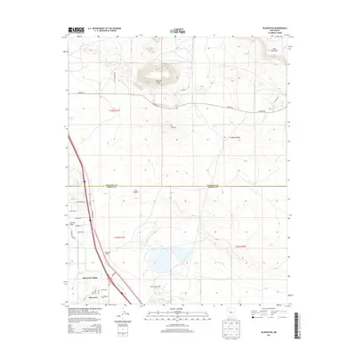
2013 Map of Bluewater
USGS Topo · Published 2013About this map
Bluewater Village and the nearby Bluewater post office anchor this New Mexico landscape during a period of transition. The region's industrial footprint is defined by the Anaconda Bluewater Mill, a significant landmark situated just south of the Cibola and McKinley county line. The map reveals an intricate water management system designed for this high-desert environment, including the Main Ditch, Middle Ditch, and East Ditch, which redirect flow across the plains from Mitchell Draw. To the north, the terrain becomes dramatically defined by geological features such as Haystack Mtn, the volcanic formations of El Tintero, and the volcanic fields of The Malpais. Transportation routes like Haystack Rd and the proximity of Bluewater Siding suggest the historical importance of rail and road connections in supporting the local milling industry and residential settlements.
Find a feature on this map
36 named features on this map. Tap any name to fly to it.
Don’t see what you’re looking for? This feature index may not catch every label — zoom into the map to look around manually.
Map Details
Editions of this 2013 Bluewater Map
This is the sole edition of this map. No revisions or reprints were ever made.
Other maps of this area

1883 · Mt. Taylor
USGS Topo · 1:250,000

1886 · Wingate
USGS Topo · 1:250,000

1886 · Mt. Taylor
USGS Topo · 1:250,000

1892 · Wingate
USGS Topo · 1:250,000

1892 · Mt. Taylor
USGS Topo · 1:250,000

1899 · Mt. Taylor
USGS Topo · 1:250,000

1951 · Mt Sedgwick
USGS Topo · 1:24,000

1954 · Gallup
USGS Topo · 1:250,000

1957 · Ambrosia Lake
USGS Topo · 1:24,000

1957 · Dos Lomas
USGS Topo · 1:24,000