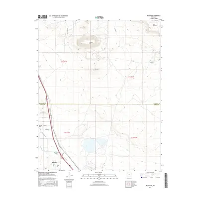
2017 Map of Bluewater
USGS Topo · Published 2017About this map
Bluewater Village and the adjacent settlement of Bluewater serve as the focal points for this high-desert landscape where agricultural engineering meets iconic Western travel. The map highlights an intricate irrigation system critical to the local economy, featuring the Main Ditch, Middle Ditch, and East Ditch, which channel water from Mitchell Draw through the valley floor. To the north, the terrain rises sharply toward Haystack Mtn and the prominent Mesa Montanosa, defining the northern boundary between Cibola and McKinley counties.
Find a feature on this map
35 named features on this map. Tap any name to fly to it.
Don’t see what you’re looking for? This feature index may not catch every label — zoom into the map to look around manually.
Map Details
Editions of this 2017 Bluewater Map
This is the sole edition of this map. No revisions or reprints were ever made.
Other maps of this area

1883 · Mt. Taylor
USGS Topo · 1:250,000

1886 · Wingate
USGS Topo · 1:250,000

1886 · Mt. Taylor
USGS Topo · 1:250,000

1892 · Wingate
USGS Topo · 1:250,000

1892 · Mt. Taylor
USGS Topo · 1:250,000

1899 · Mt. Taylor
USGS Topo · 1:250,000

1951 · Mt Sedgwick
USGS Topo · 1:24,000

1954 · Gallup
USGS Topo · 1:250,000

1957 · Ambrosia Lake
USGS Topo · 1:24,000

1957 · Dos Lomas
USGS Topo · 1:24,000