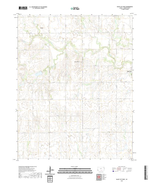
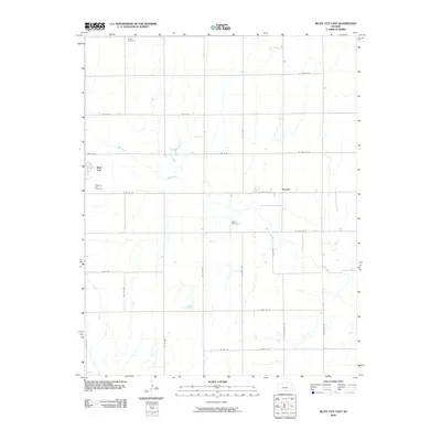
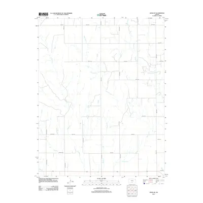
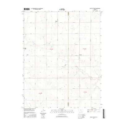
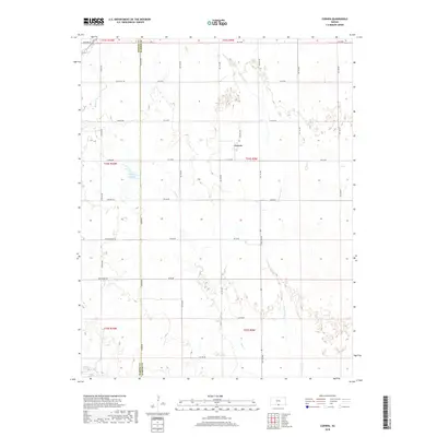
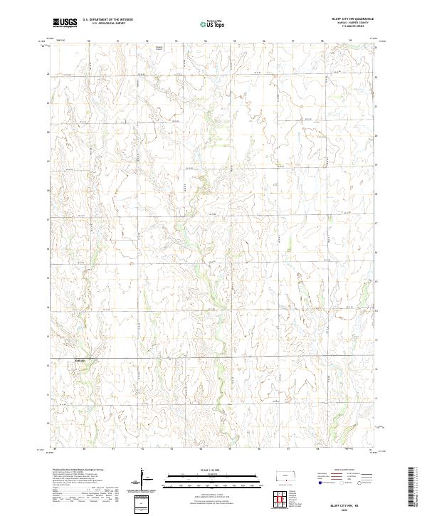
2022 Map of Bluff City West
USGS Topo · Published 2022About this map
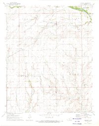
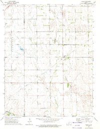
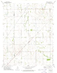
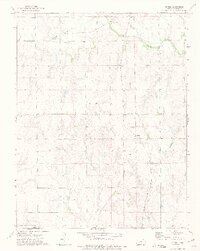
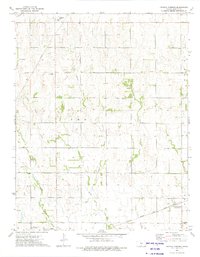
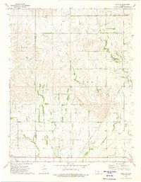
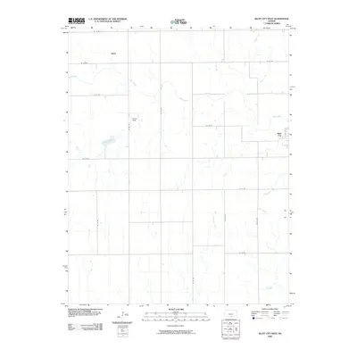
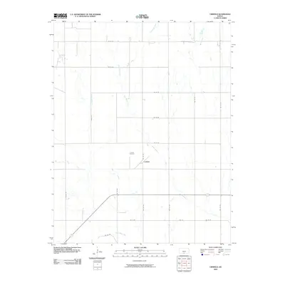
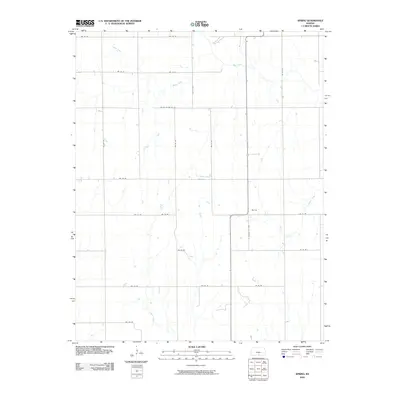
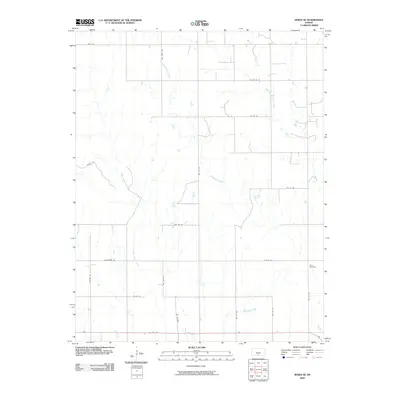
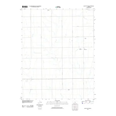
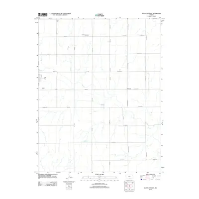
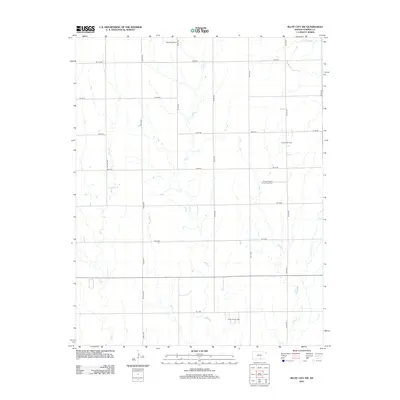
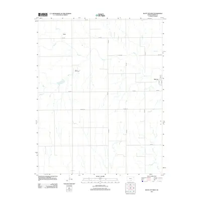
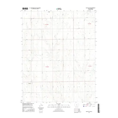
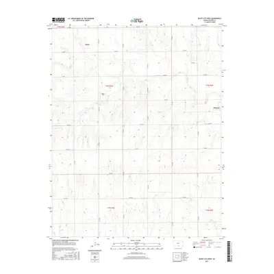
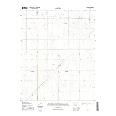
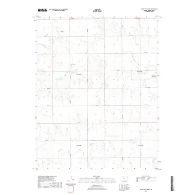
Bluff City sits on the eastern edge of this landscape, anchoring a rural expanse defined by a dense network of sectional roads and meandering waterways. The drainage pattern is dominated by Bluff Cr, which winds through the center of the township, joined by tributaries including Wildcat Creek, Silver Cr, and Baehr Cr. These creeks create localized variations in the terrain, contrasting with the rigid grid of the Public Land Survey System roads such as Berlin Rd and SE 40 Rd.
Find a feature on this map
31 named features on this map. Tap any name to fly to it.
Don’t see what you’re looking for? This feature index may not catch every label — zoom into the map to look around manually.
Map Details
Editions of this 2022 Bluff City West Map
This is the sole edition of this map. No revisions or reprints were ever made.
Historical Maps of Bluff City Through Time
54 maps found
1971 Bluff City East
Harper County, KS
1971 Bluff City NW
Harper County, KS
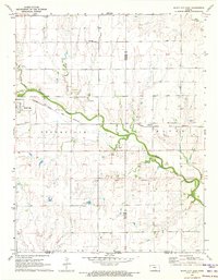
1971 Bluff City West
Harper County, KS
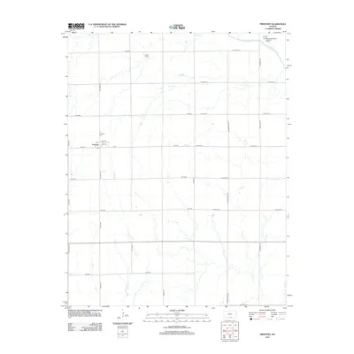
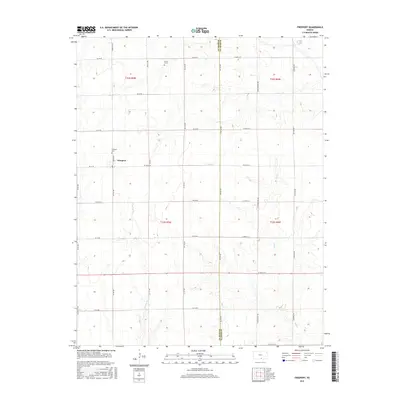
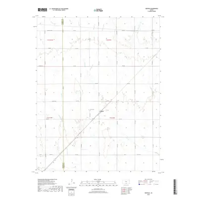
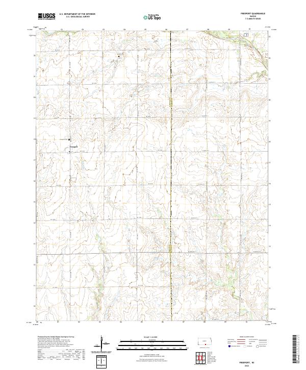
1971 Freeport
Harper County, KS
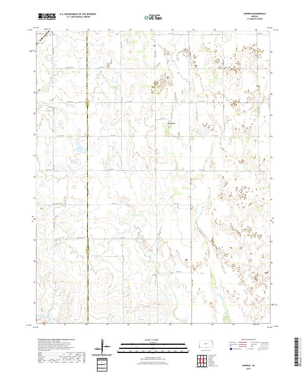
1972 Corwin
Harper County, KS
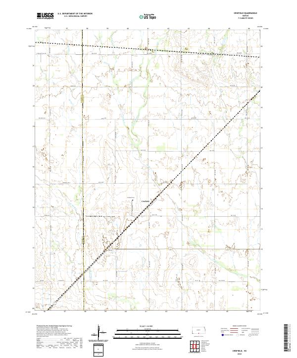
1972 Crisfield
Harper County, KS
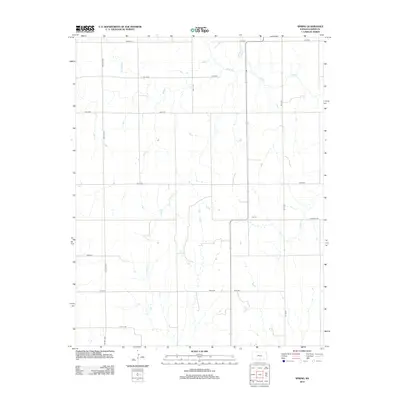
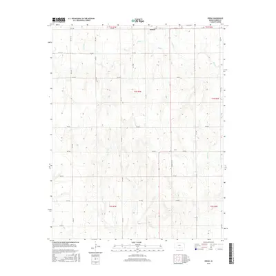
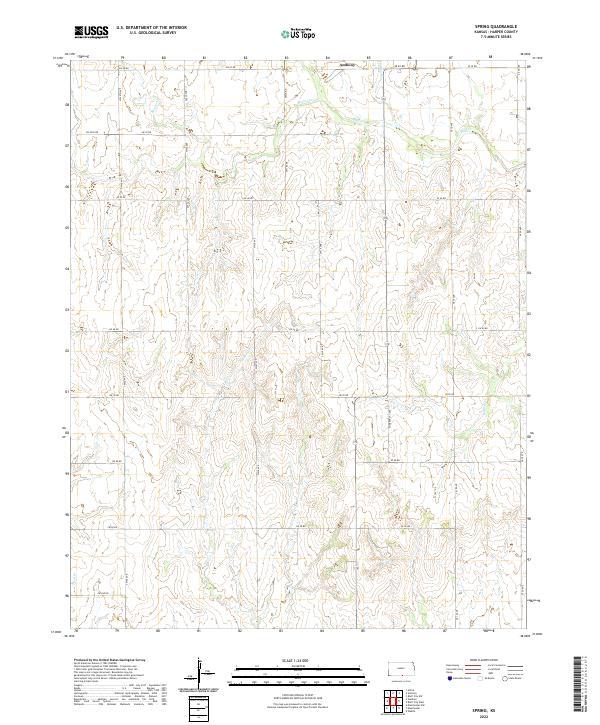
1972 Spring
Harper County, KS
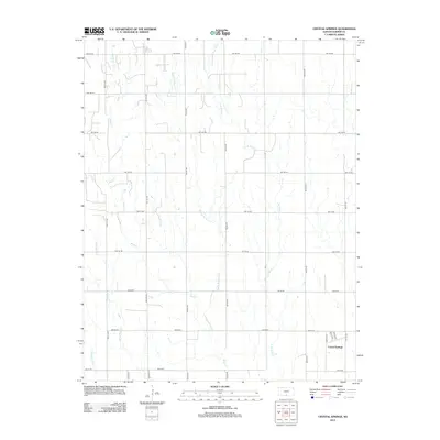
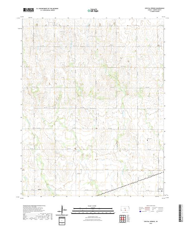
1973 Crystal Springs
Harper County, KS
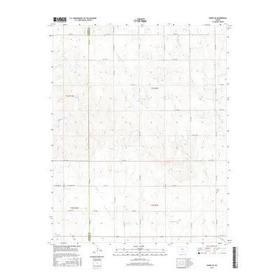
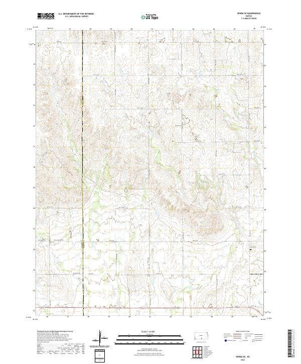
1973 Zenda SE
Harper County, KS
2009 Bluff City East
Harper County, KS
2009 Bluff City West
Harper County, KS
2009 Crisfield
Harper County, KS
2009 Spring
Harper County, KS
2009 Zenda SE
Harper County, KS
2010 Bluff City NW
Harper County, KS
2010 Corwin
Harper County, KS
2010 Crystal Springs
Harper County, KS
2010 Freeport
Harper County, KS
2012 Bluff City East
Harper County, KS
2012 Bluff City NW
Harper County, KS
2012 Bluff City West
Harper County, KS
2012 Corwin
Harper County, KS
2012 Crisfield
Harper County, KS
2012 Crystal Springs
Harper County, KS
2012 Freeport
Harper County, KS
2012 Spring
Harper County, KS
2012 Zenda SE
Harper County, KS
2015 Bluff City East
Harper County, KS
2015 Bluff City NW
Harper County, KS
2015 Bluff City West
Harper County, KS
2015 Corwin
Harper County, KS
2015 Crisfield
Harper County, KS
2015 Freeport
Harper County, KS
2015 Spring
Harper County, KS
2015 Zenda SE
Harper County, KS
2016 Crystal Springs
Harper County, KS
2018 Bluff City East
Harper County, KS
2018 Bluff City NW
Harper County, KS
2018 Bluff City West
Harper County, KS
2018 Corwin
Harper County, KS
2018 Crisfield
Harper County, KS
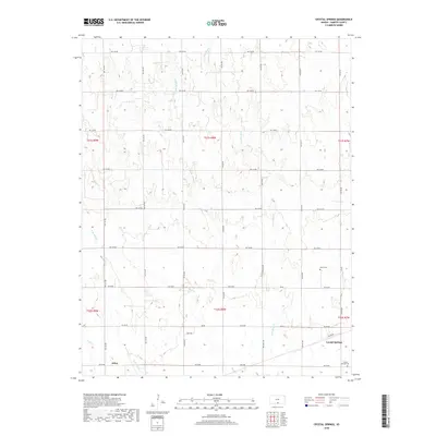
2018 Crystal Springs
Harper County, KS
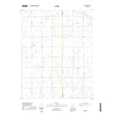
2018 Freeport
Harper County, KS
2018 Spring
Harper County, KS
2018 Zenda SE
Harper County, KS
2022 Bluff City East
Harper County, KS
2022 Bluff City NW
Harper County, KS
2022 Bluff City West
Harper County, KS
2022 Corwin
Harper County, KS
2022 Crisfield
Harper County, KS
2022 Crystal Springs
Harper County, KS
2022 Freeport
Harper County, KS
2022 Spring
Harper County, KS
2022 Zenda SE
Harper County, KS