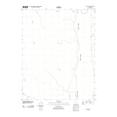
2010 Map of Bluff NW
USGS Topo · Published 2010About this map
Comb Ridge dominates the eastern portion of this San Juan County landscape, creating a massive natural barrier that has long dictated travel routes through the high desert. The map illustrates a network of primitive roads and drainage systems that define the area's geography, including the winding course of Comb Wash and the stark elevation changes at The Twist. This 2010 survey by the U.S. Geological Survey captures the intricate drainage patterns of Fish Creek and Dry Wash as they carve through the plateau. Local transport is represented by backcountry routes such as Bailey S Lower Rd and Comb Wash Rd, which follow the contours of the land. For researchers of the American Southwest, the map provides a clear look at the relationship between the formidable monocline of the ridge and the accessible corridors of Snow Flat and Stevens Canyon.
Find a feature on this map
14 named features on this map. Tap any name to fly to it.
Don’t see what you’re looking for? This feature index may not catch every label — zoom into the map to look around manually.
Map Details
Editions of this 2010 Bluff NW Map
This is the sole edition of this map. No revisions or reprints were ever made.
Other maps of this area

1886 · Abajo
USGS Topo · 1:250,000

1892 · Abajo
USGS Topo · 1:250,000

1893 · Abajo
USGS Topo · 1:250,000

1935 · Elk Ridge
USGS Topo · 1:96,000

1940 · Elk Ridge
USGS Topo · 1:125,000

1954 · Elk Ridge 3 SE
USGS Topo · 1:24,000

1954 · Bears Ears
USGS Topo · 1:62,500

1956 · Cortez
USGS Topo · 1:250,000

1957 · Elk Ridge 4 SE
USGS Topo · 1:24,000

1957 · Brushy Basin Wash
USGS Topo · 1:62,500