
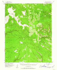
1954 Map of Bears Ears
USGS Topo · Published 1957About this map
The twin sandstone buttes of Bears Ears dominate this mid-century survey of the high desert plateau in San Juan County. This area within the Manti-La Sal National Forest is defined by deeply incised drainages like Woodenshoe Canyon and Burch Canyon, where vertical relief separates vast mesas such as Dry Mesa and South Long Point. Human activity is sparse and centered on forest management and remote navigation, evidenced by the Kigalia Ranger Sta and an isolated Airstrip on Elk Ridge.
Find a feature on this map
73 named features on this map. Tap any name to fly to it.
Don’t see what you’re looking for? This feature index may not catch every label — zoom into the map to look around manually.
Map Details
Editions of this 1954 Bears Ears Map
4 editions found
Other maps of this area

1886 · Henry Mountains
USGS Topo · 1:250,000

1886 · Abajo
USGS Topo · 1:250,000

1892 · Abajo
USGS Topo · 1:250,000

1892 · Henry Mountains
USGS Topo · 1:250,000

1893 · Abajo
USGS Topo · 1:250,000

1935 · Elk Ridge
USGS Topo · 1:96,000

1940 · Elk Ridge
USGS Topo · 1:125,000

1952 · Mouth of Dark Canyon
USGS Topo · 1:62,500

1952 · Natural Bridges
USGS Topo · 1:62,500

1954 · Elk Ridge 4 NW
USGS Topo · 1:24,000