
1954 Map of Elk Ridge 3 SE
USGS Topo · Published 1954About this map
Grand Gulch Plateau dominates this mid-century preliminary survey, characterized by the deep incisions of the Grand Gulch and its tributaries. Located within the Manti-La Sal National Forest in San Juan County, the landscape is defined by massive mesas and drainage systems like Mule Canyon and Owl Creek. The map records specific points of human habitation and historical interest, including a Cliff Dwelling and the settlement of Hogan in the southeastern quadrant.
Find a feature on this map
17 named features on this map. Tap any name to fly to it.
Don’t see what you’re looking for? This feature index may not catch every label — zoom into the map to look around manually.
Map Details
Editions of this 1954 Elk Ridge 3 SE Map
This is the sole edition of this map. No revisions or reprints were ever made.
Other maps of this area

1886 · Abajo
USGS Topo · 1:250,000

1892 · Abajo
USGS Topo · 1:250,000

1893 · Abajo
USGS Topo · 1:250,000

1935 · Elk Ridge
USGS Topo · 1:96,000

1940 · Elk Ridge
USGS Topo · 1:125,000

1954 · Elk Ridge 4 NW
USGS Topo · 1:24,000
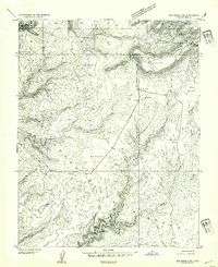
1954 · Elk Ridge 3 SW
USGS Topo · 1:24,000

1954 · Elk Ridge 3 NE
USGS Topo · 1:24,000
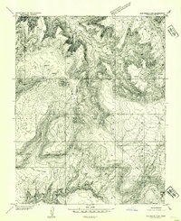
1954 · Elk Ridge 3 NW
USGS Topo · 1:24,000

1954 · Bears Ears
USGS Topo · 1:62,500