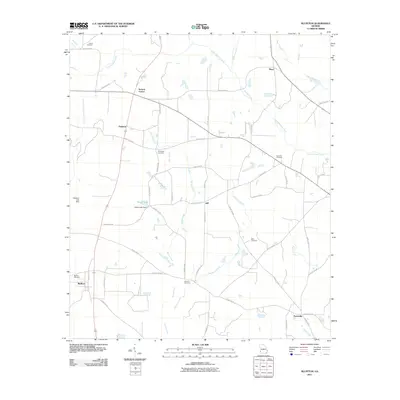
2011 Map of Bluffton
USGS Topo · Published 2011About this map
The town of Bluffton anchors this Southwest Georgia landscape, serving as a hub for a network of rural communities including Suttons Corner, Oakland, Jeff, and Parksville. The terrain is defined by the drainage basins of Spring Creek and Williams Creek, which flow southward through a mosaic of agricultural fields and timber tracts. Notable water features include Faines Lake and its associated Faines Lake Dam, as well as Little Pachitla Creek winding through the northeastern corner near Moye.
Find a feature on this map
51 named features on this map. Tap any name to fly to it.
Don’t see what you’re looking for? This feature index may not catch every label — zoom into the map to look around manually.
Map Details
Editions of this 2011 Bluffton Map
This is the sole edition of this map. No revisions or reprints were ever made.
Other maps of this area

1953 · Dothan
USGS Topo · 1:250,000

1954 · Dothan
USGS Topo · 1:250,000

1955 · Dothan
USGS Topo · 1:250,000

1973 · Martins Crossroads
USGS Topo · 1:24,000
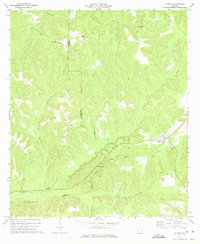
1973 · Coleman
USGS Topo · 1:24,000

1973 · Blakely North
USGS Topo · 1:24,000

1973 · Bancroft
USGS Topo · 1:24,000

1973 · Edison
USGS Topo · 1:24,000
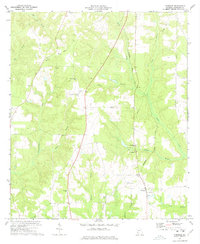
1973 · Carnegie
USGS Topo · 1:24,000
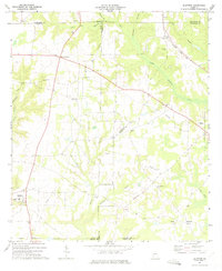
1973 · Bluffton
USGS Topo · 1:24,000